
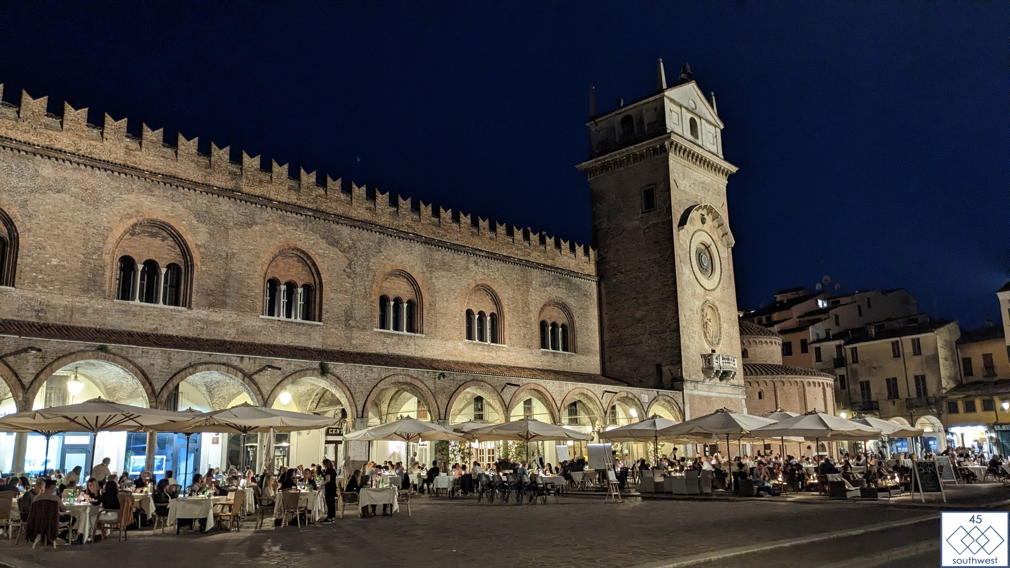
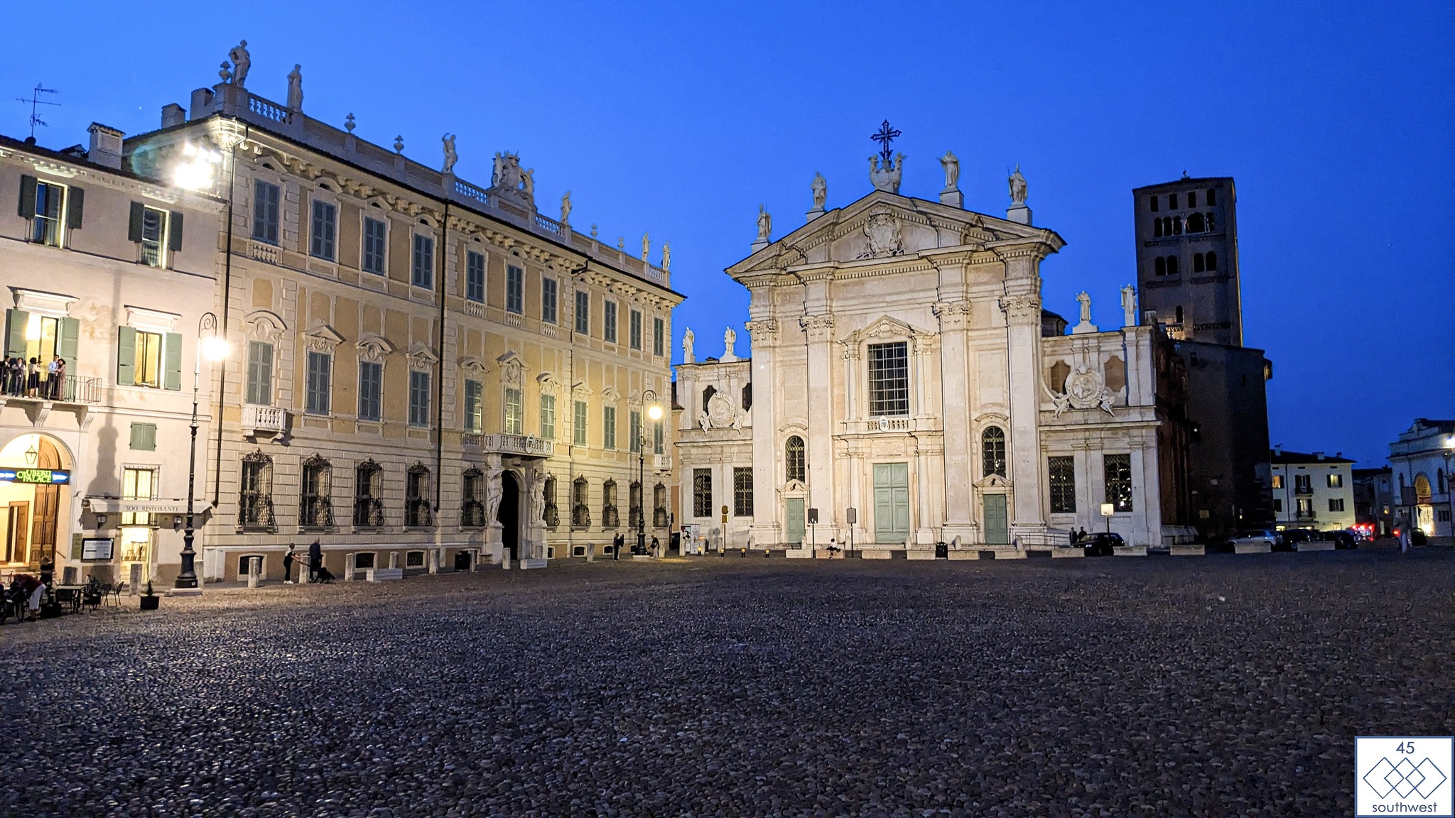
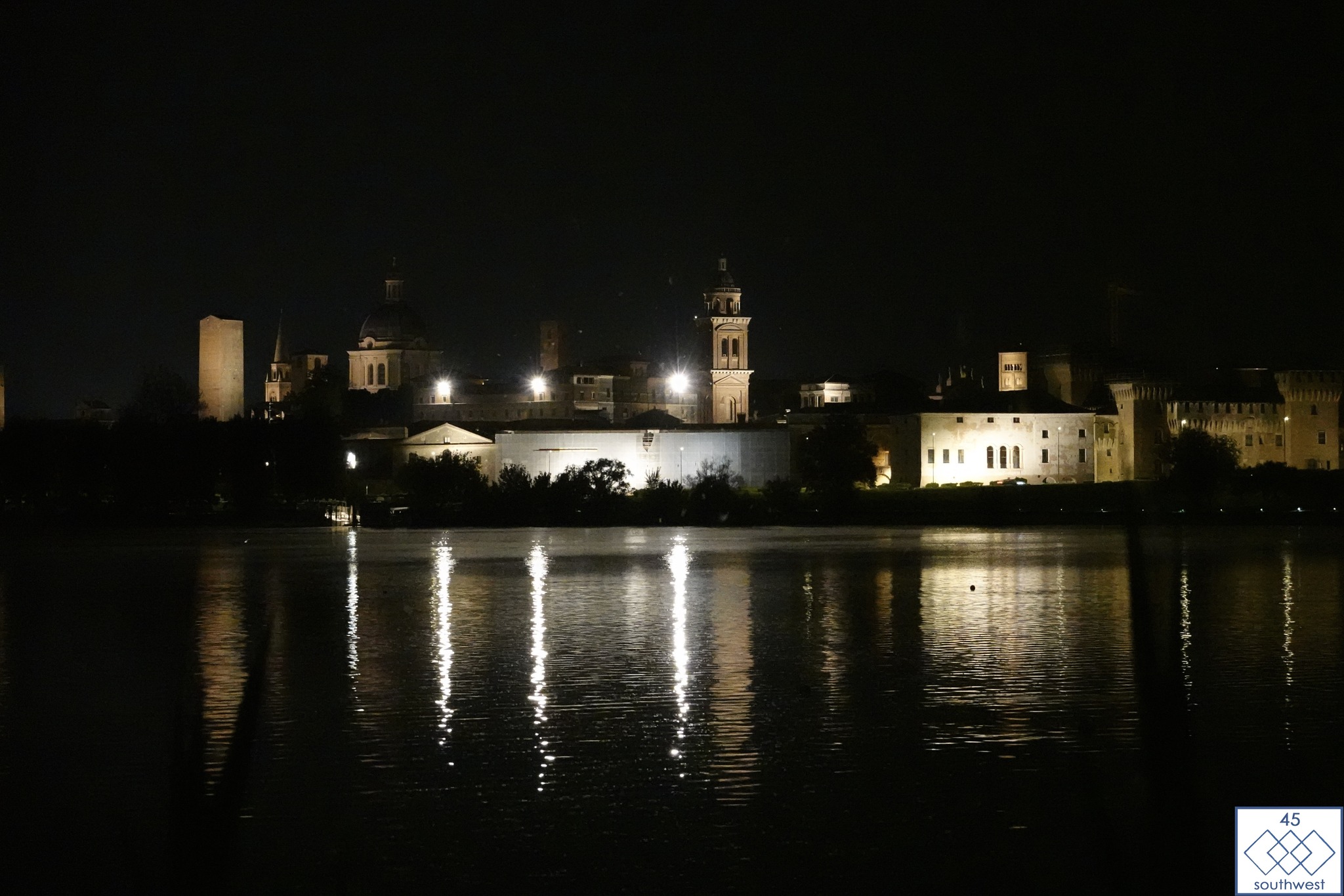
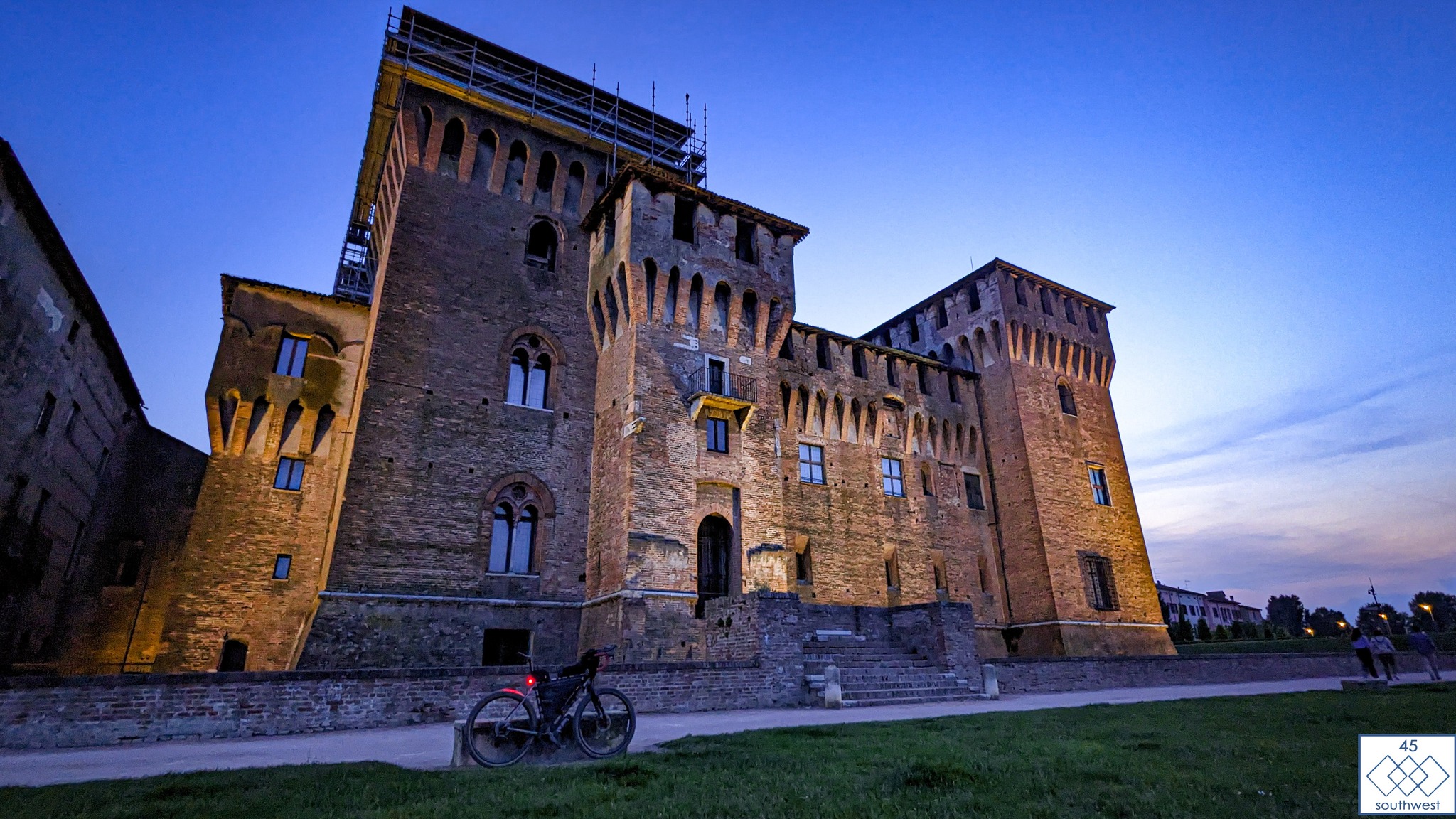
This ancient charm, almost untouched over time is located in Lombardy, 1305km from the starting point.
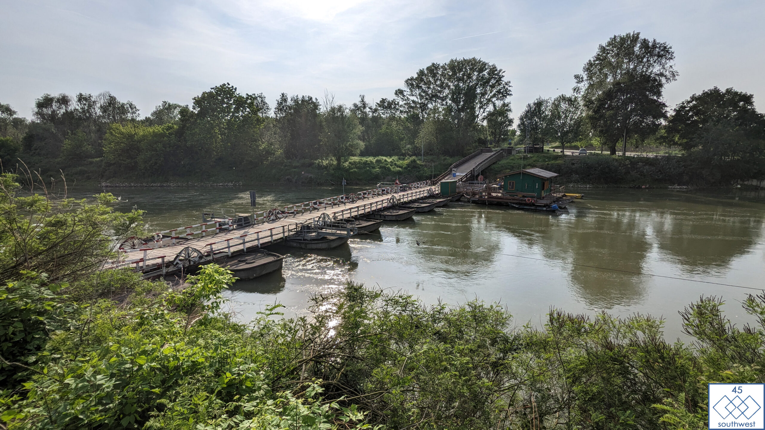
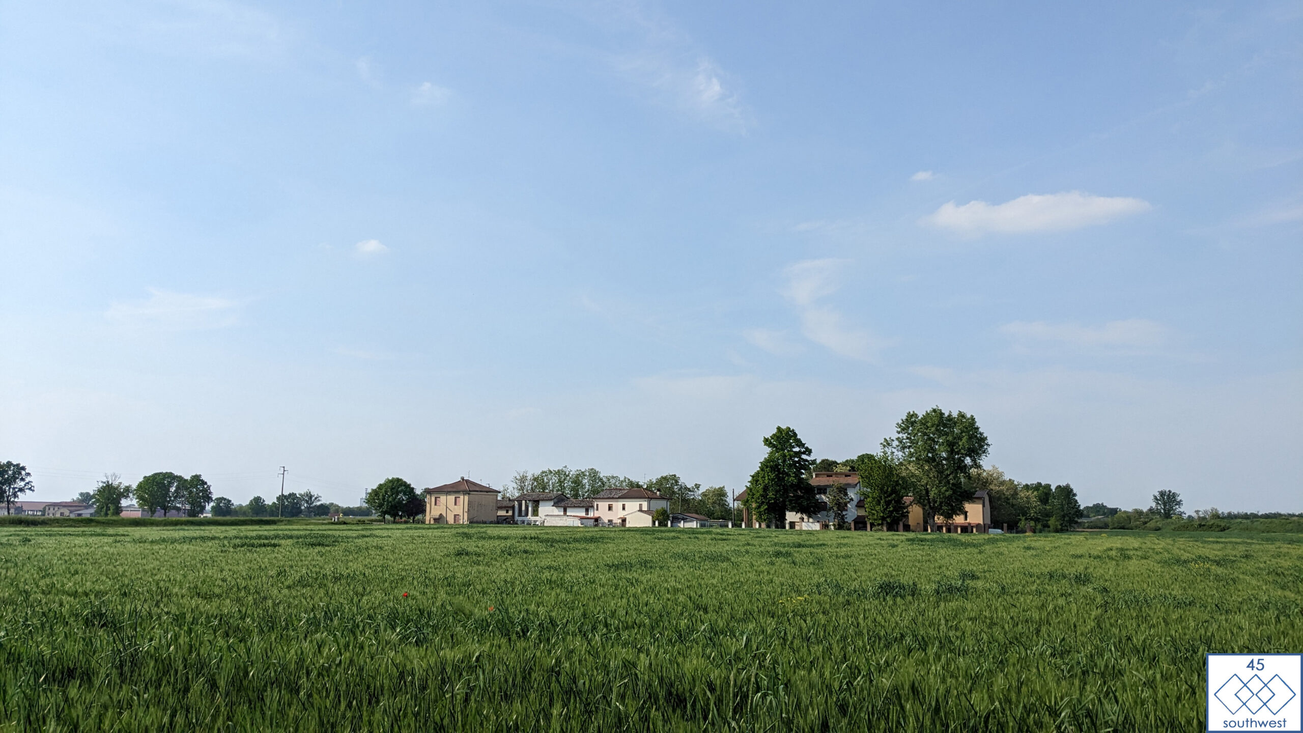
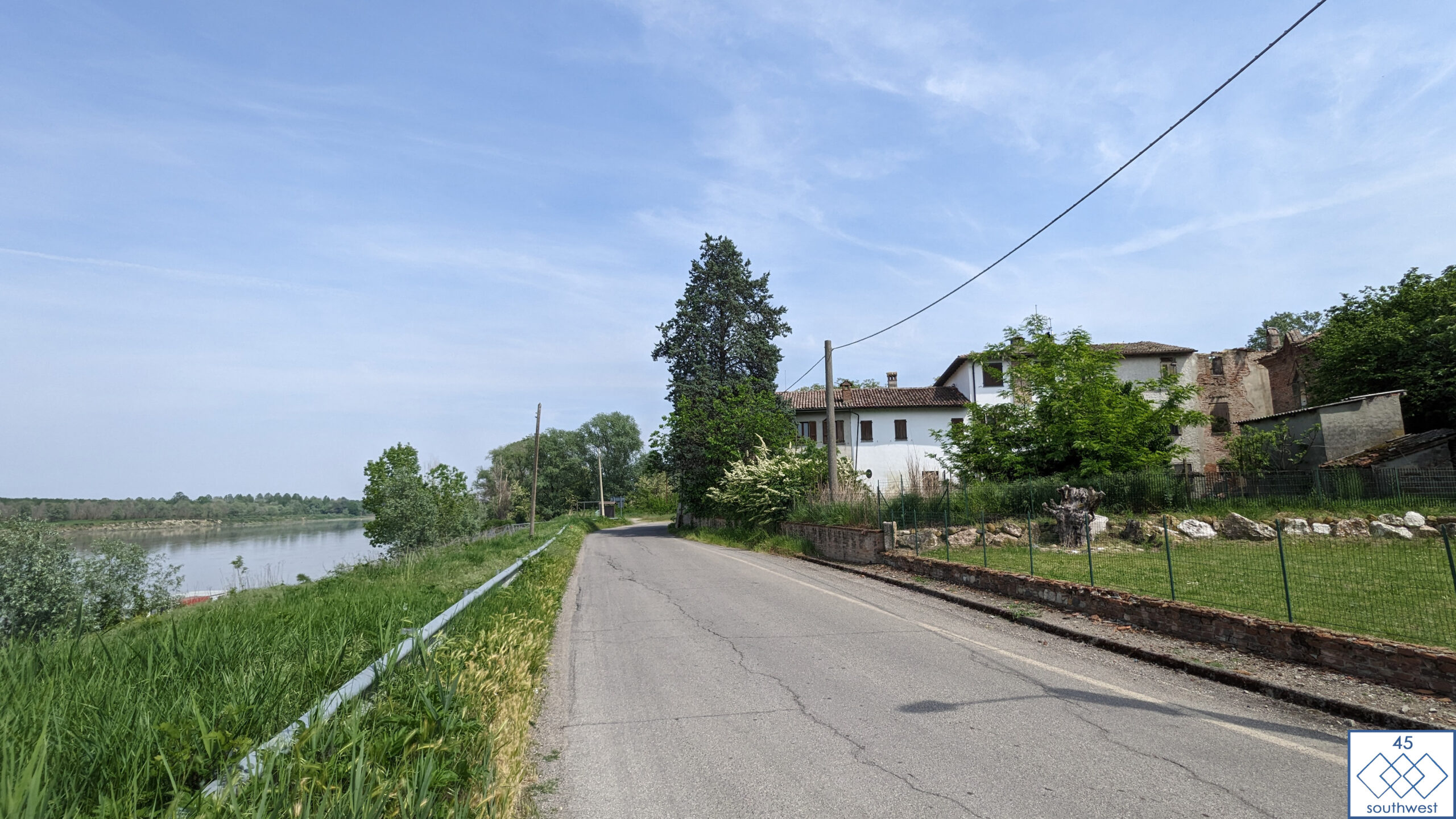
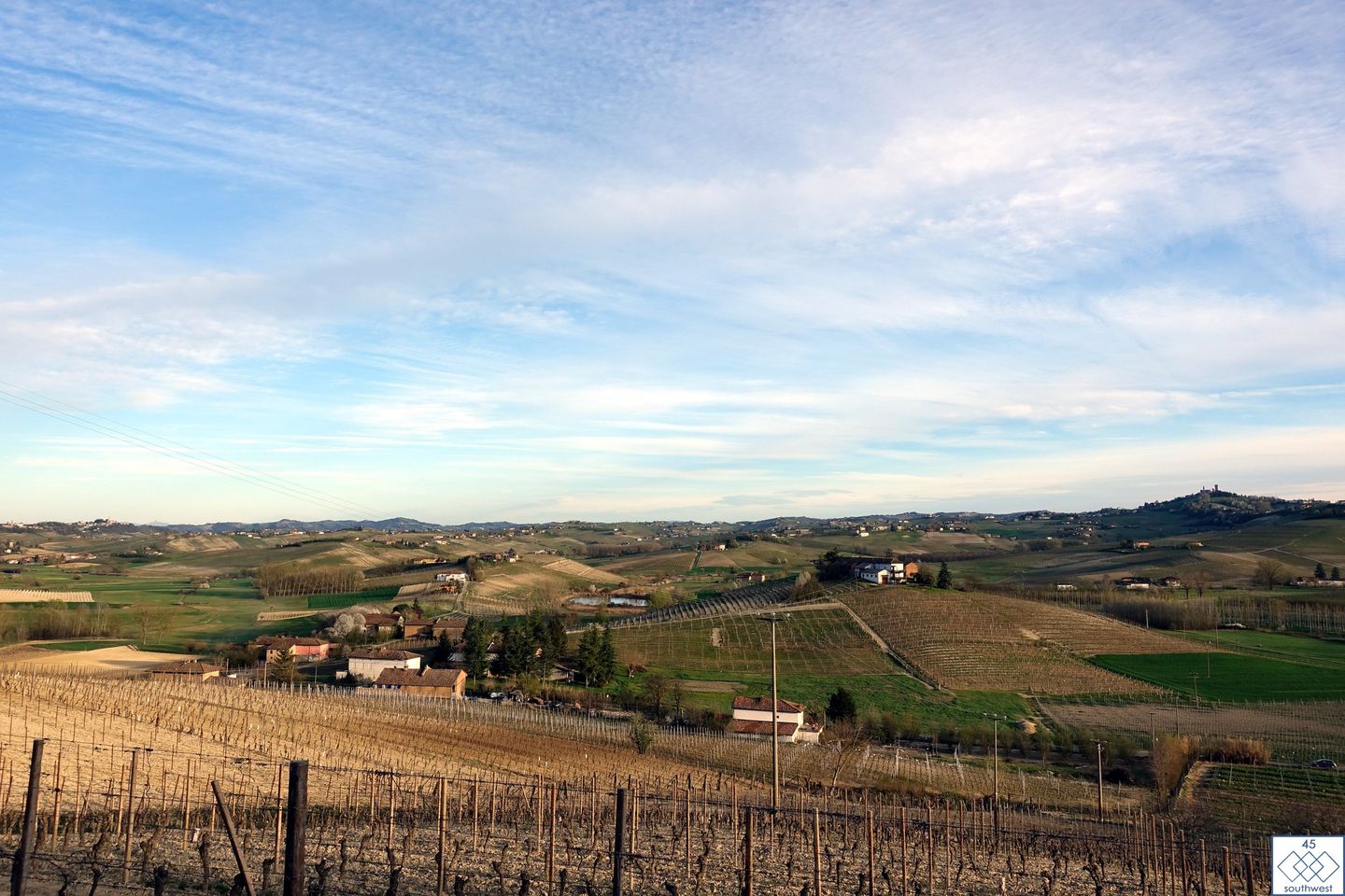
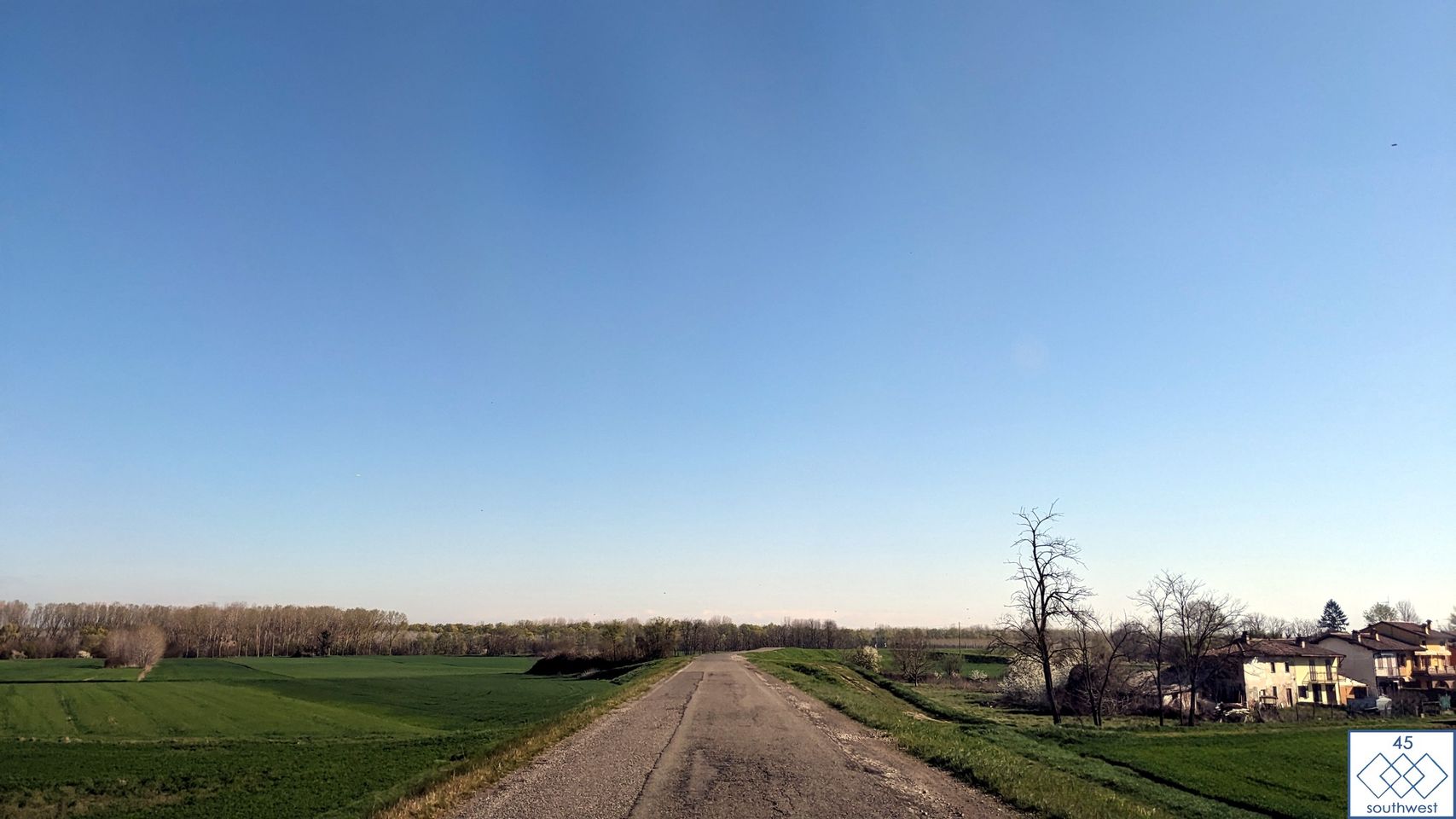
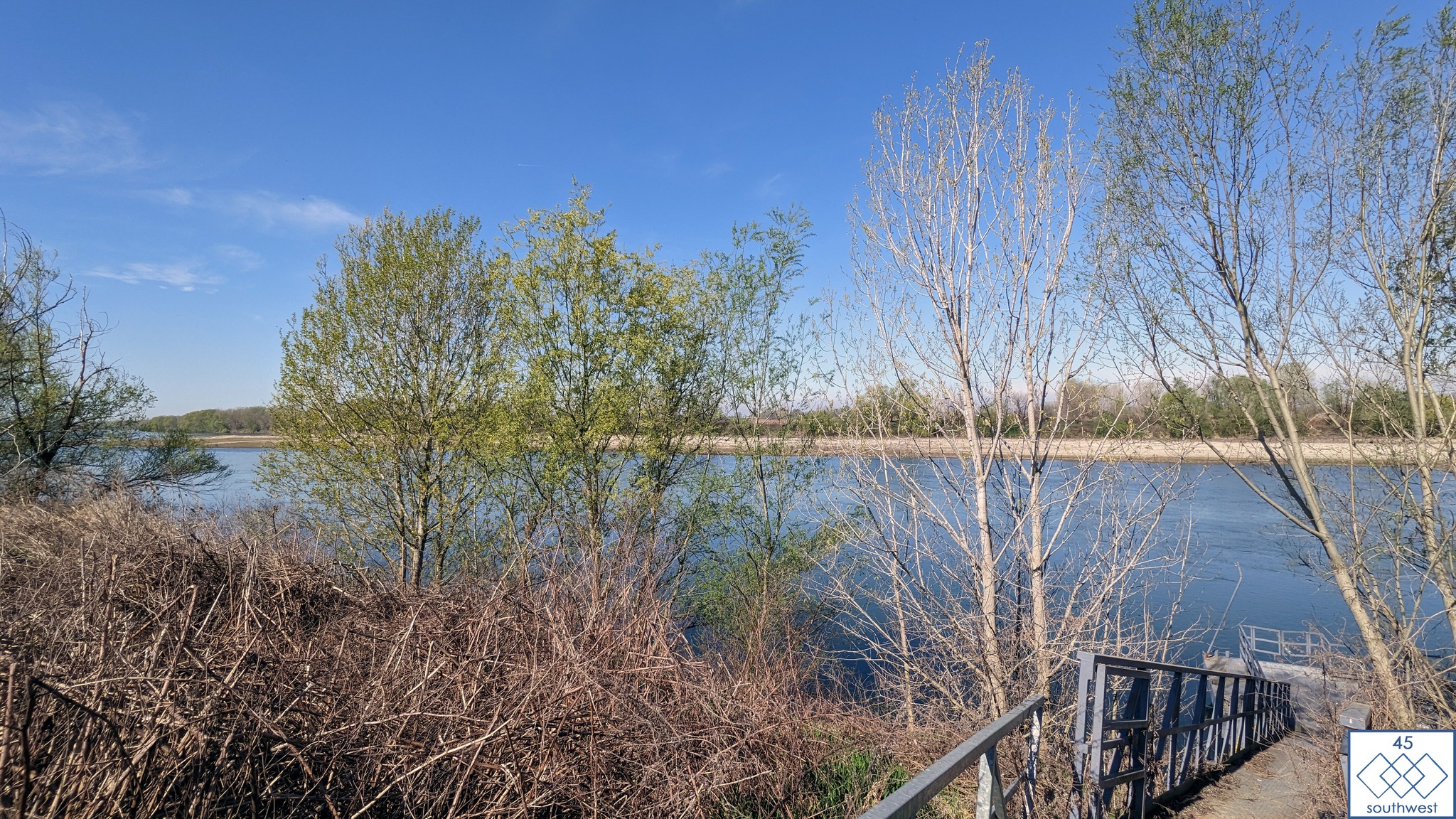
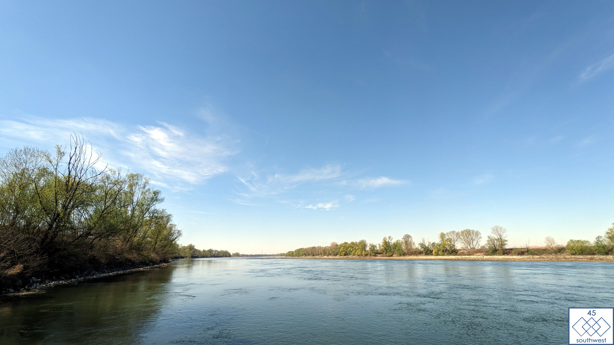
Riders will reach the CP2 guided by quiet backroads, surrounded by three lakes.
Mantua was declared one of the most beautiful cities of the Renaissance and was inscribed as a UNESCO World Heritage Site in 2007.
#45sw #45southwest #endurancecycling #bikepacking #bikepackinglife #ultracycling #adventurebybike #adventurecycling #ciclismo #cyclinglife #rower #bikelife #cycling #ultraendurancecycling #krakow #tarifa #montventoux #verdon #nice #coldetende #tourmalet #picodelveleta #rusjanbag #transbikeadventures