As you come over Col de Tende towards Nice, you’ll follow the “route de sel” and roads used by the famous Monte Carlo Rally. In the past, it took people three days on horseback to travel from Limone to Nice. Interestingly, apples from the Piemont region were also transported to Nice.
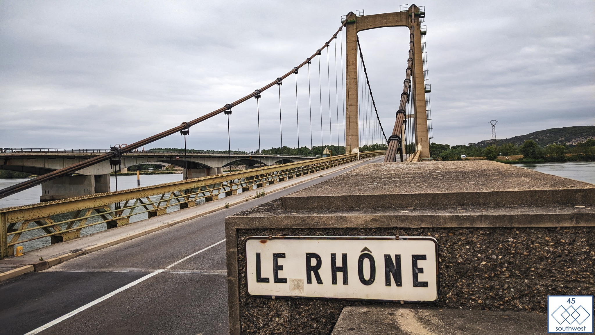
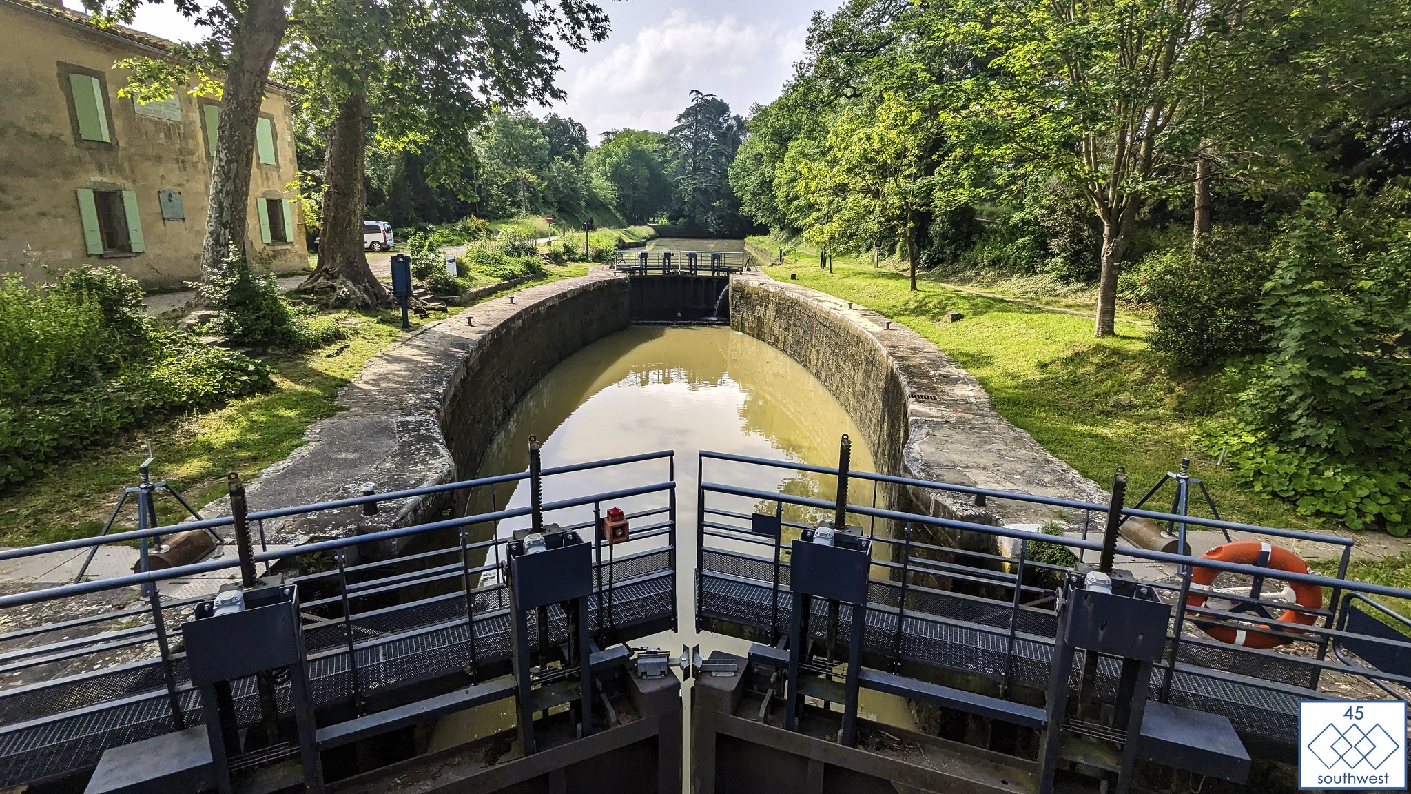
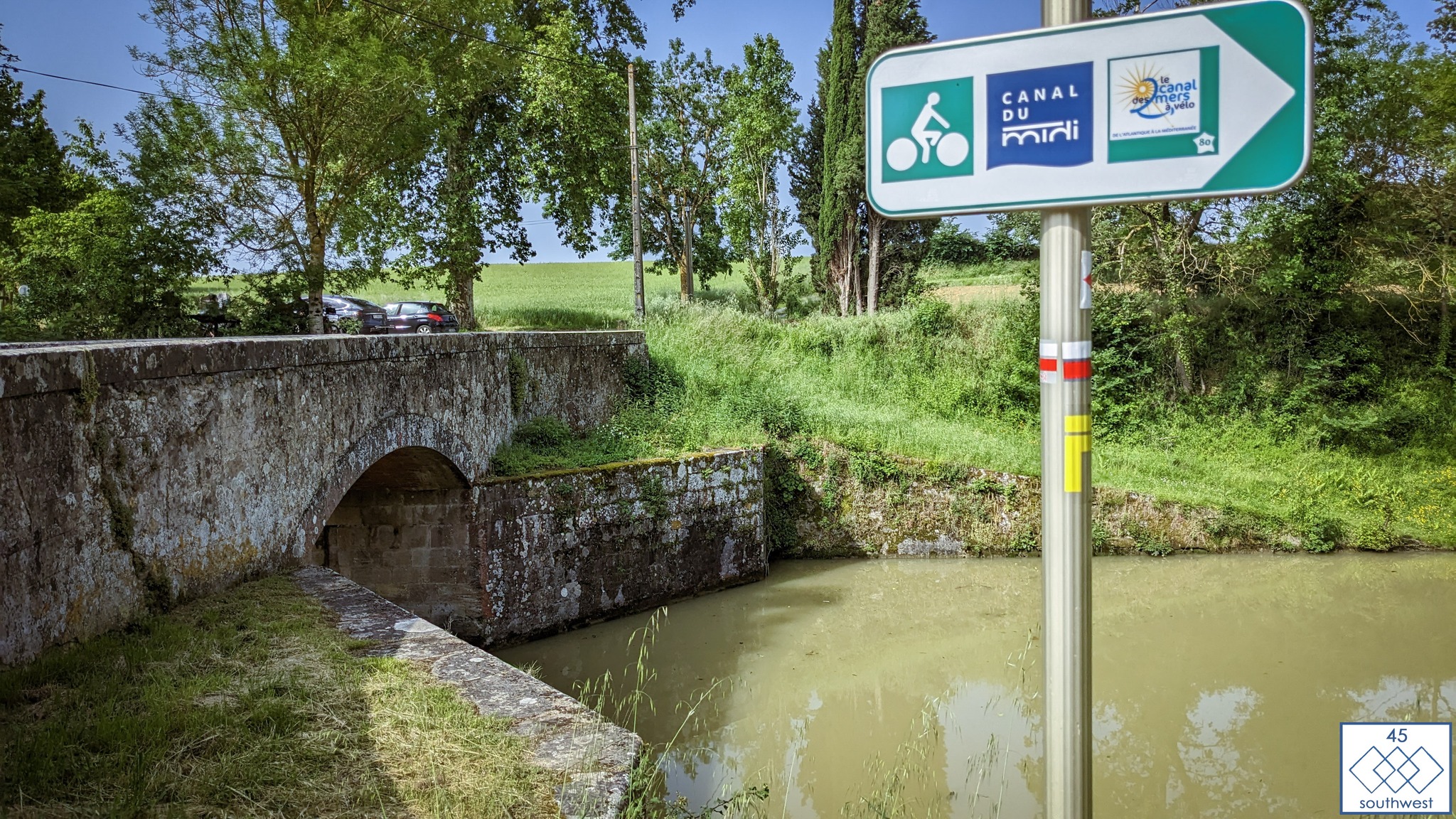
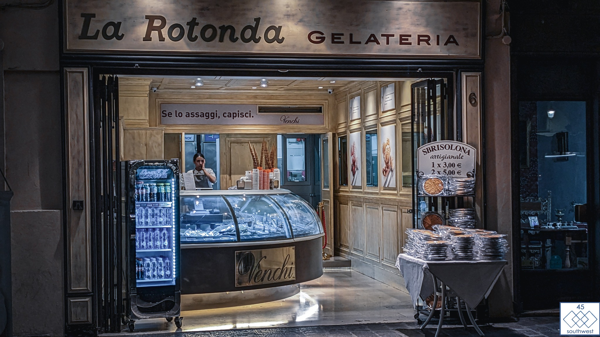
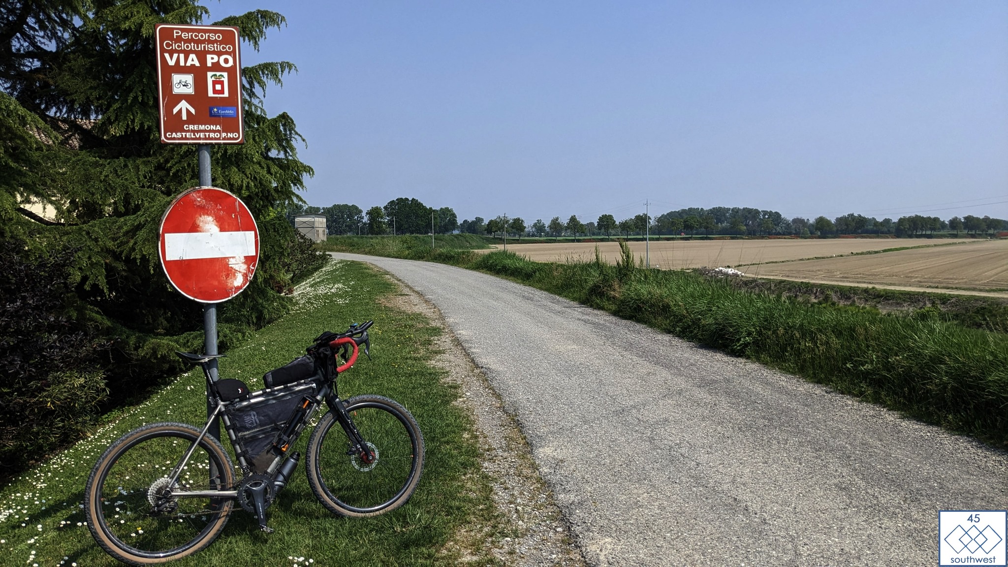
The route will take the riders alongside several significant rivers of Europe. They will start their adventure along the Vistula River, the longest river in Poland. Moving forward, the iconic Danube River, which is the second largest in Europe. They will also cross the Po River in Italy, the longest there. The route will take them across the majestic Rhone River, a major watercourse in France and a scenic 30-kilometer stretch along the Canal du Midi.
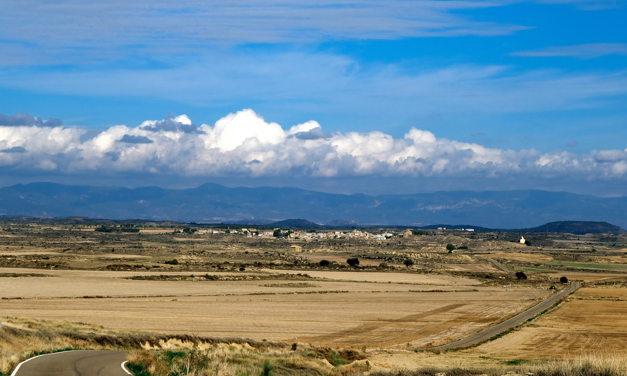
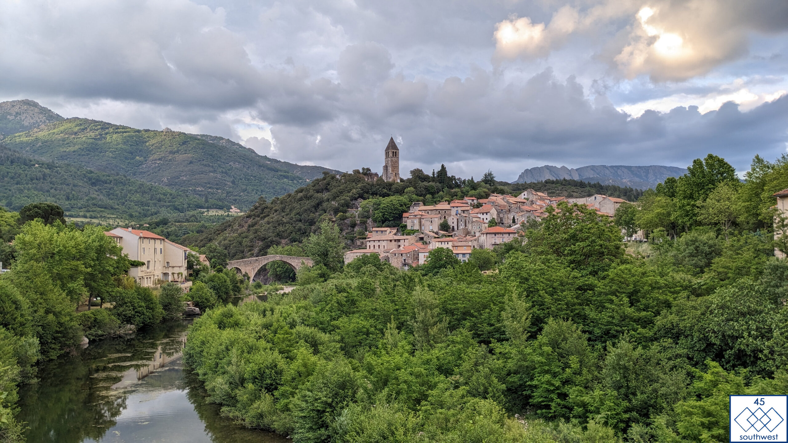
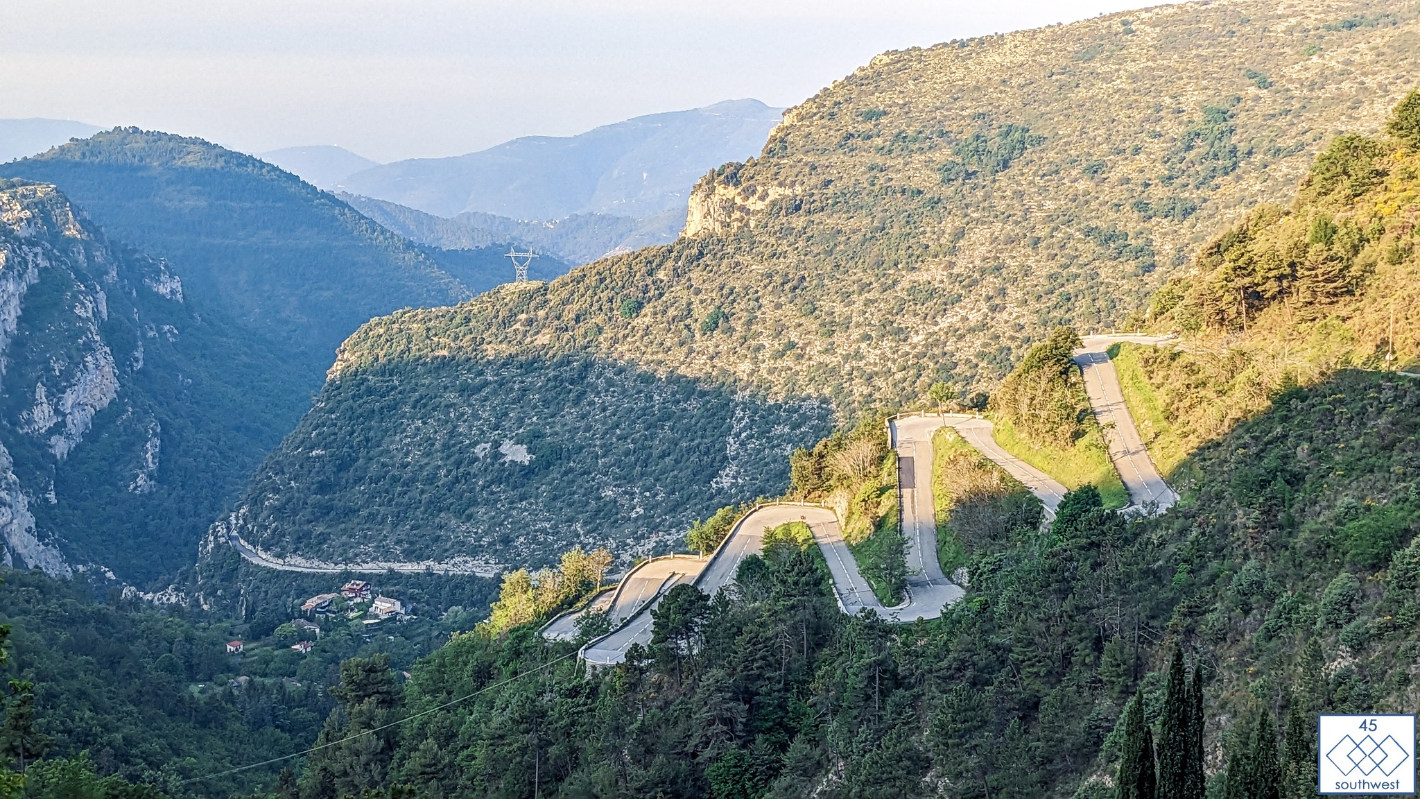
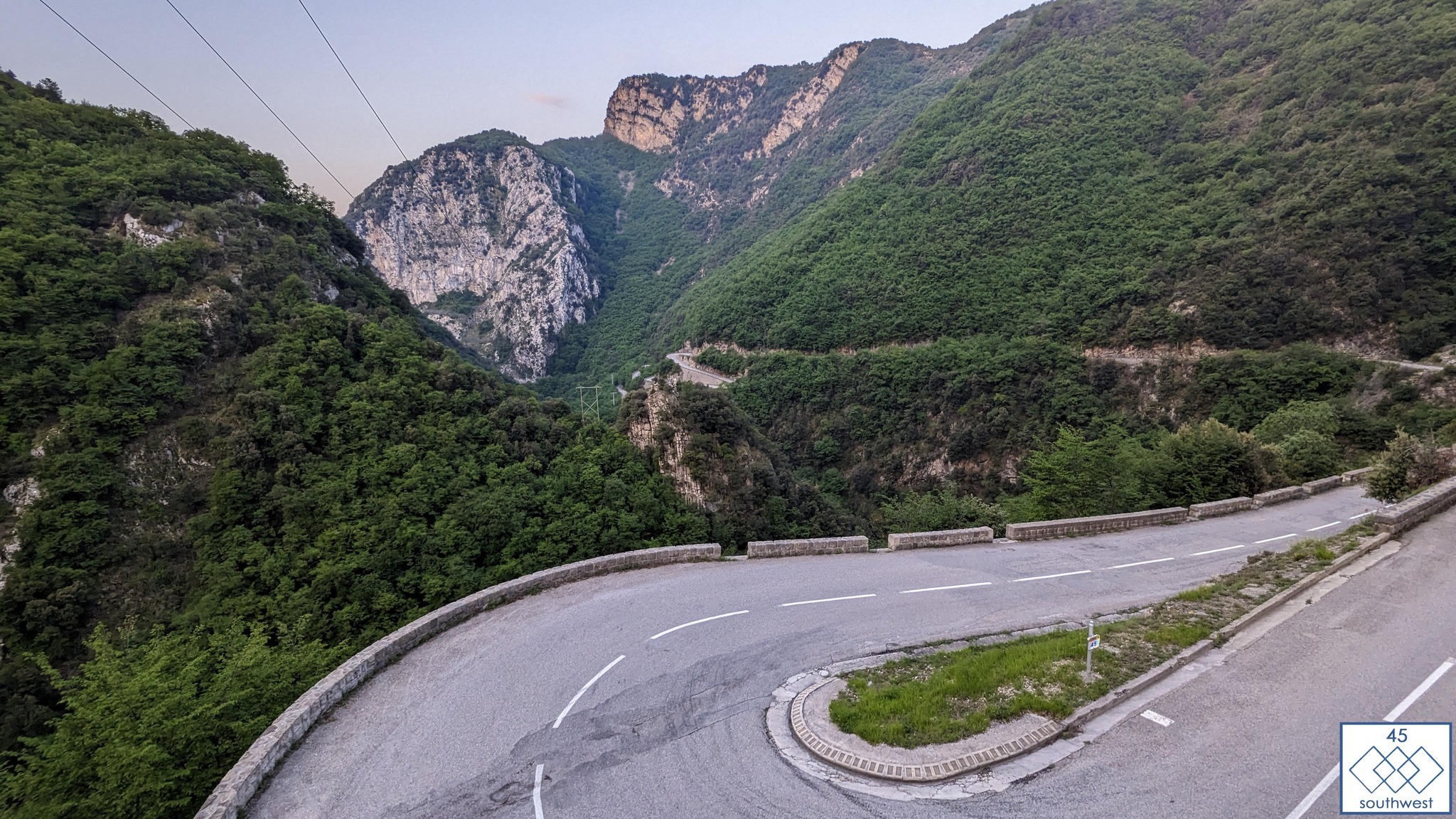
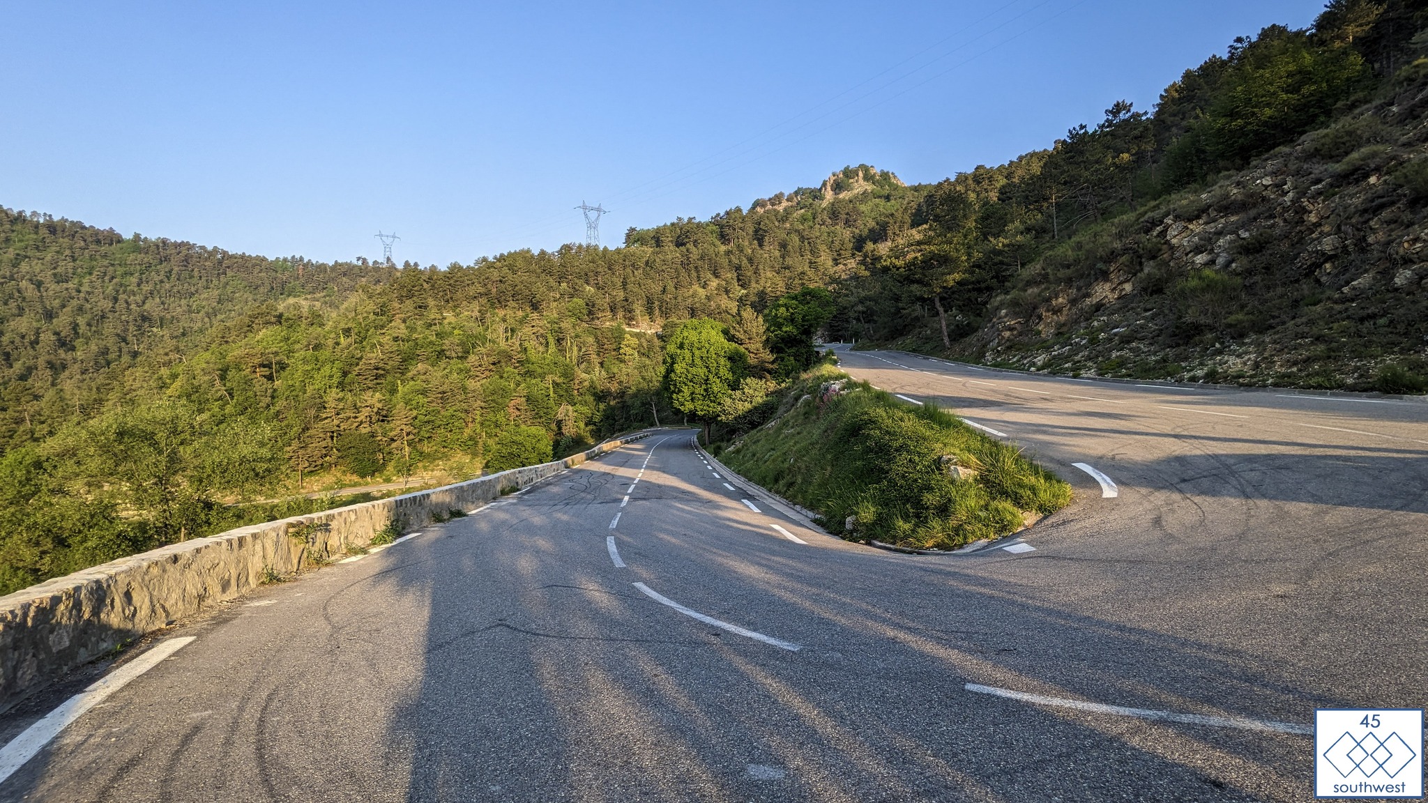
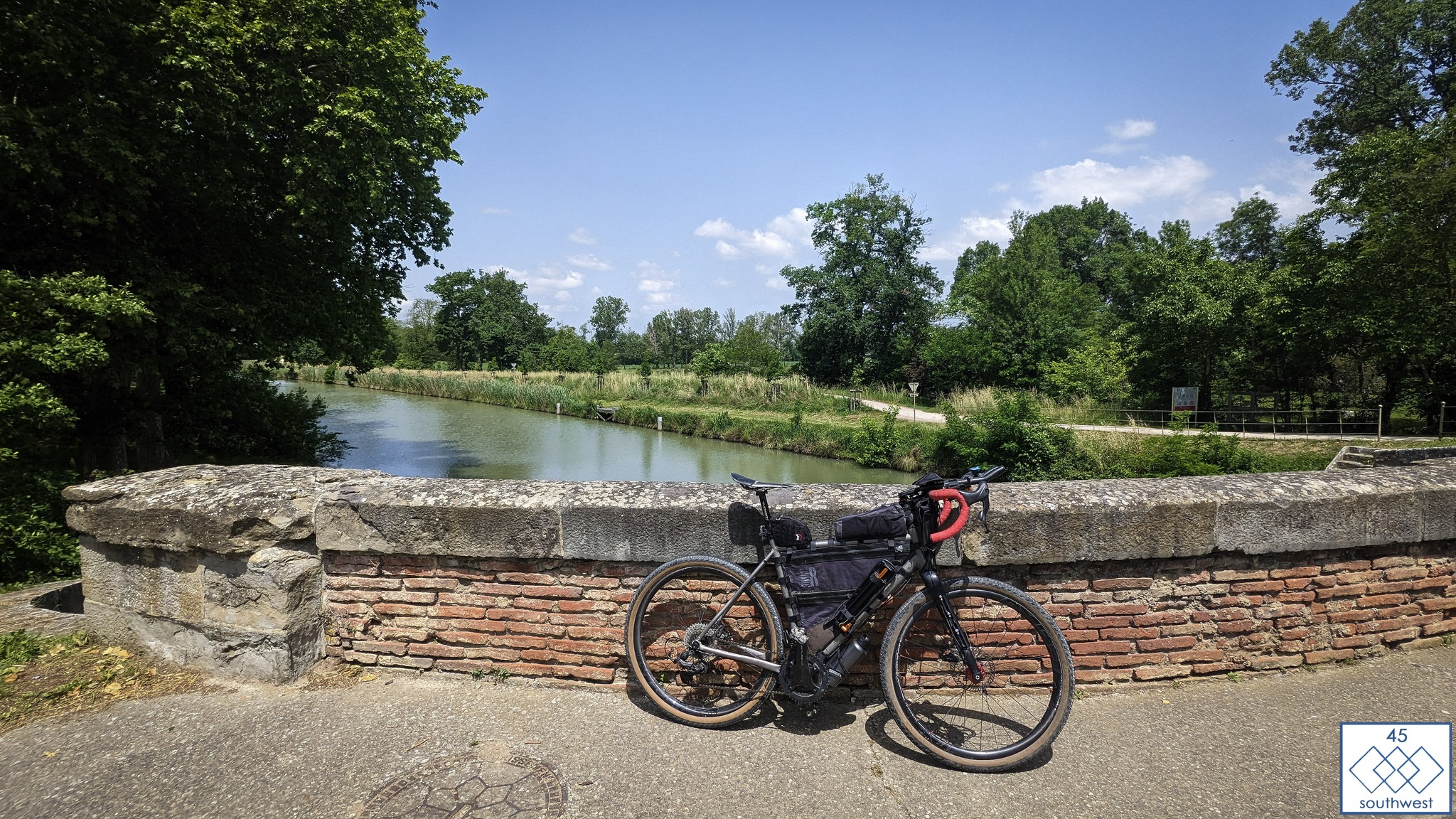
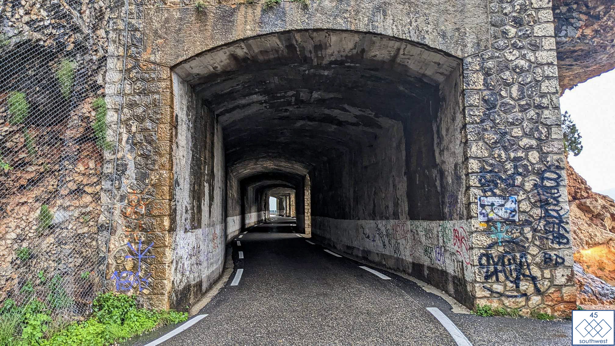
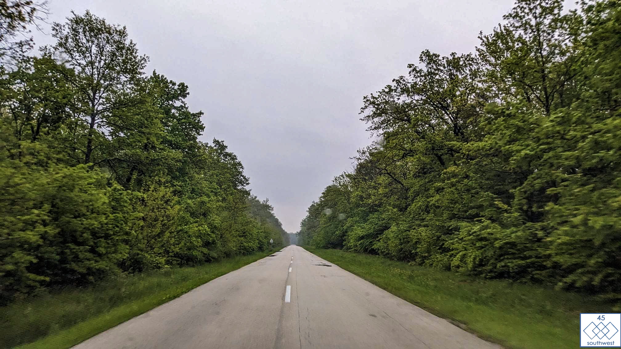
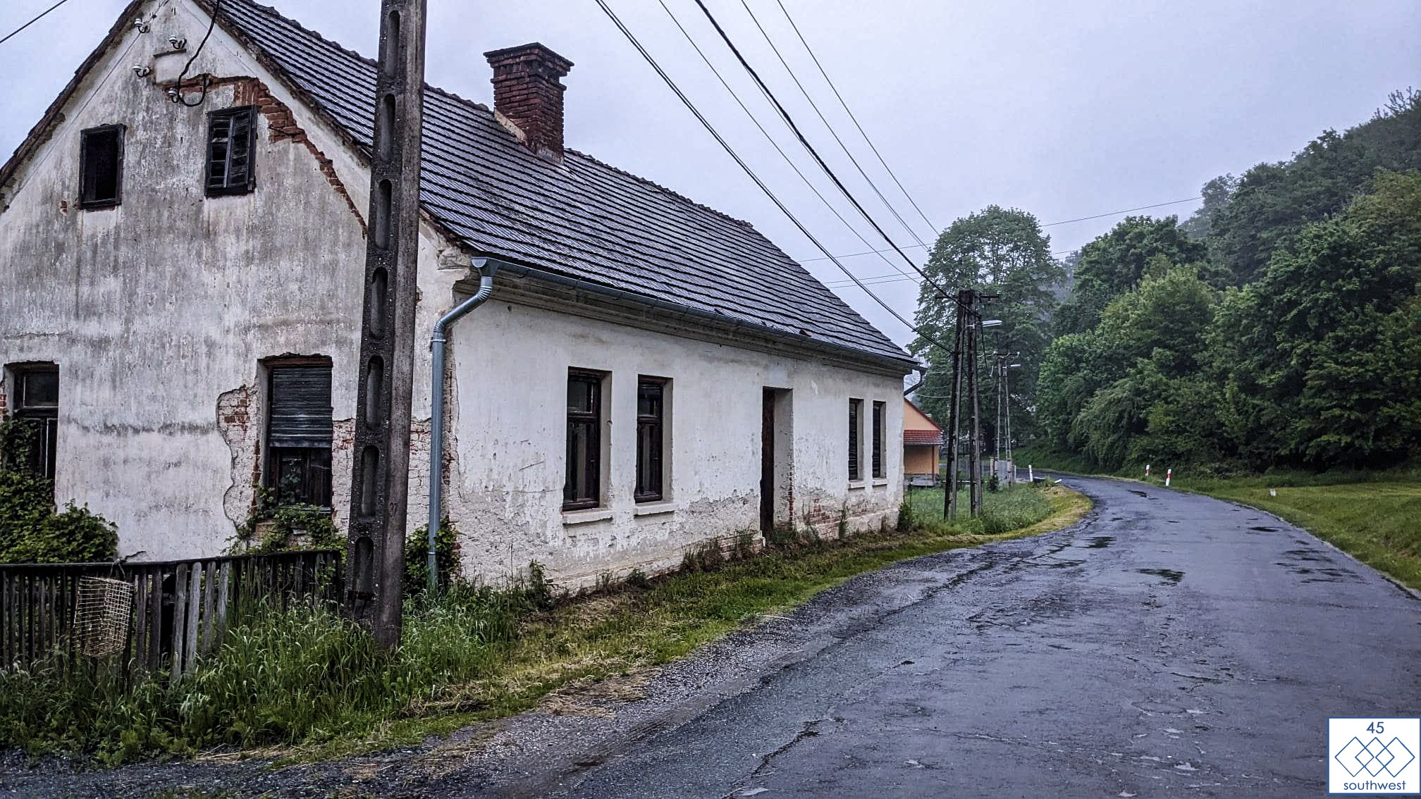
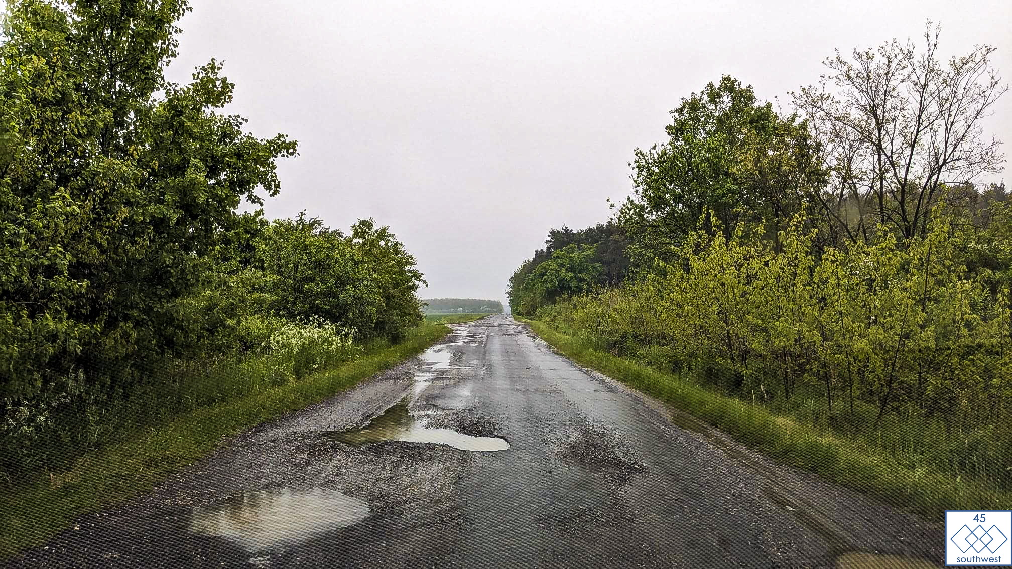
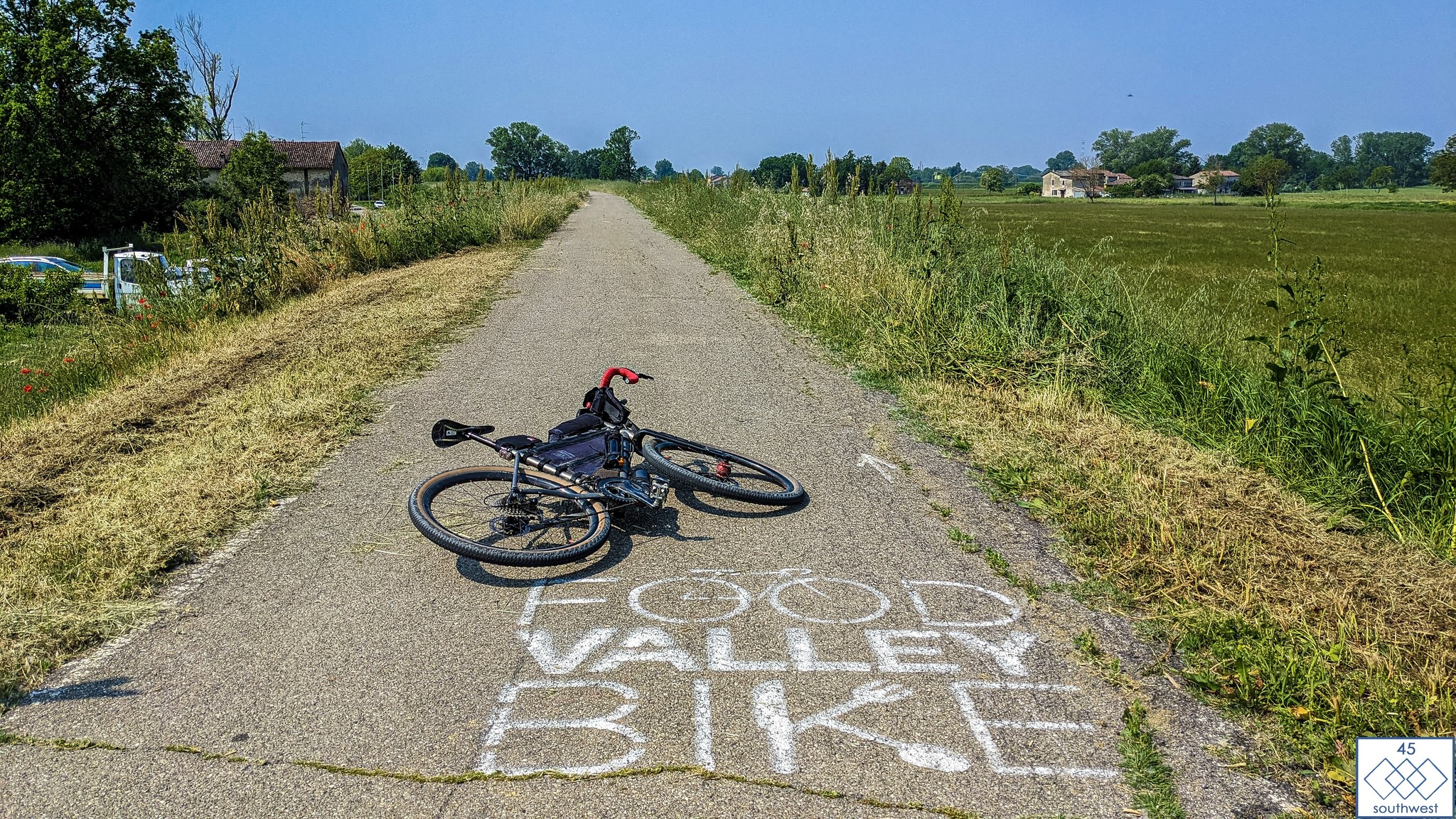
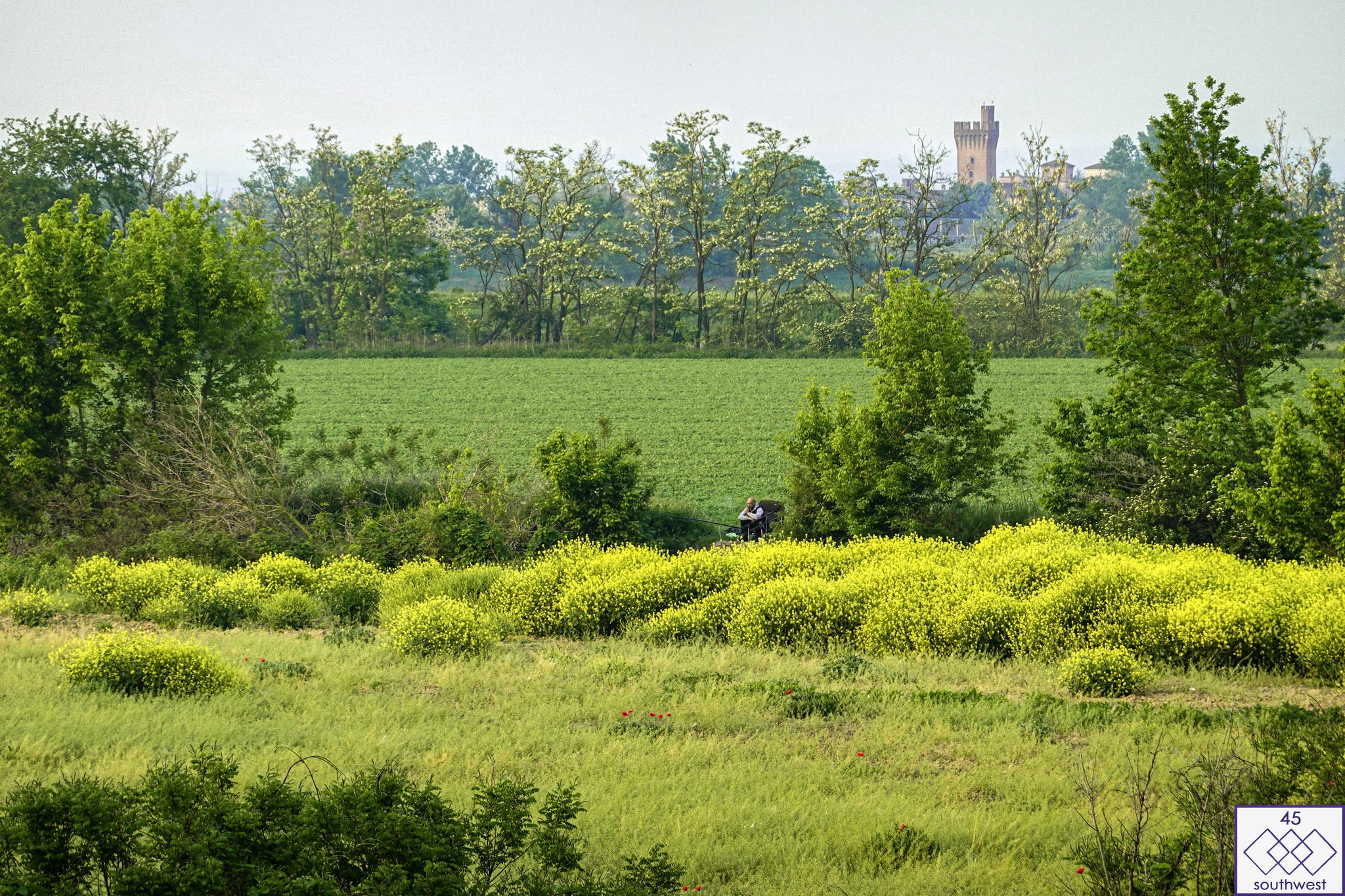
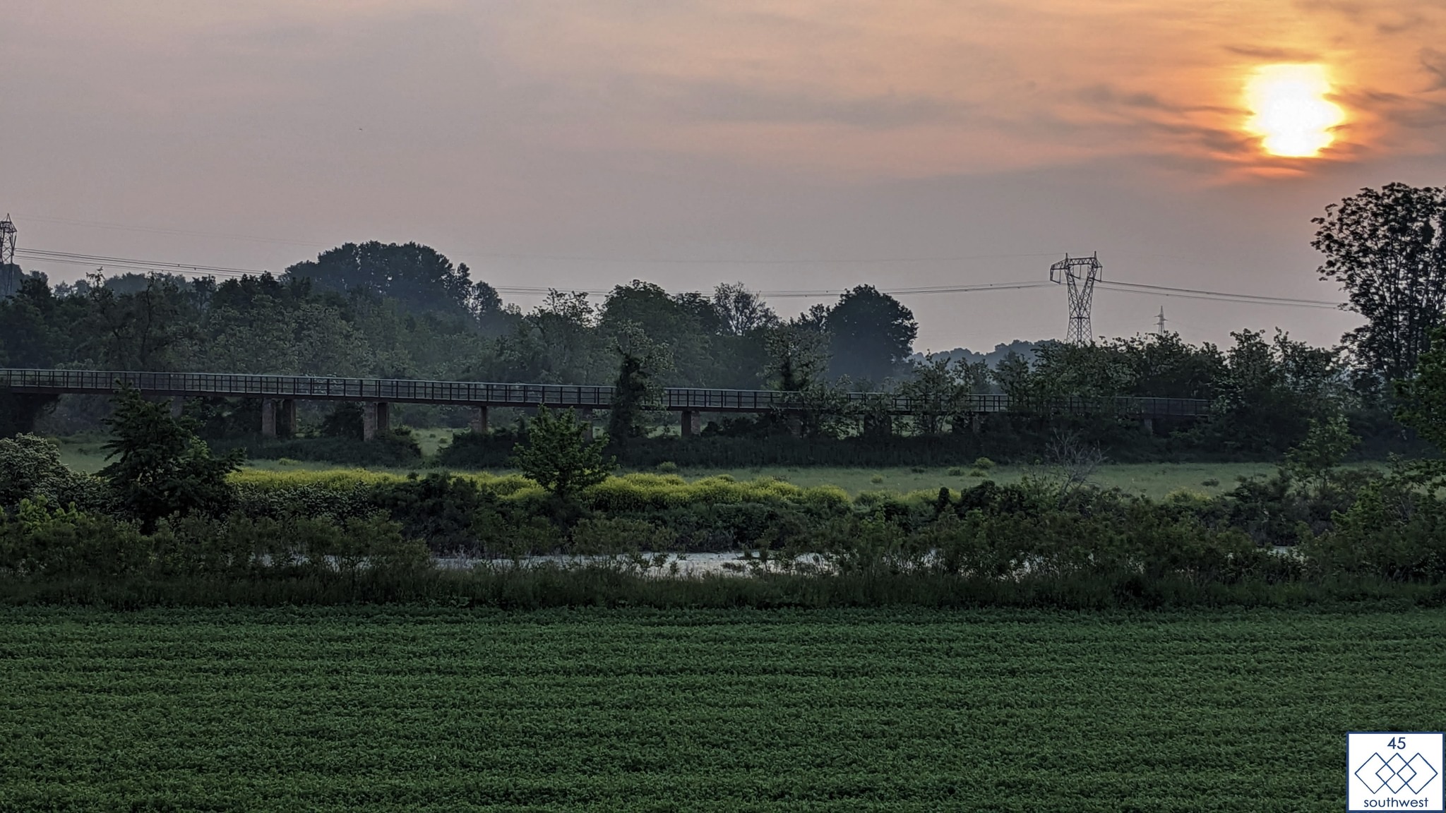
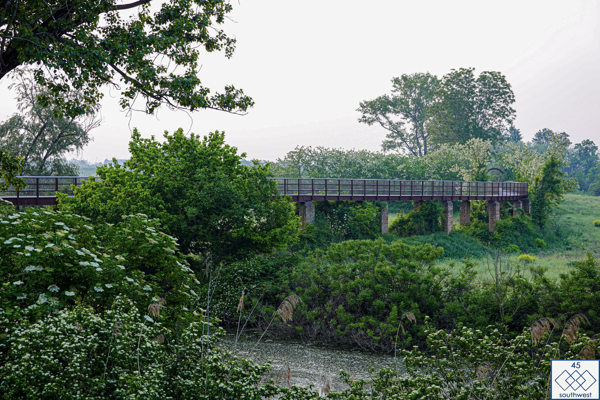
Photos from the route checking, currently heading south.
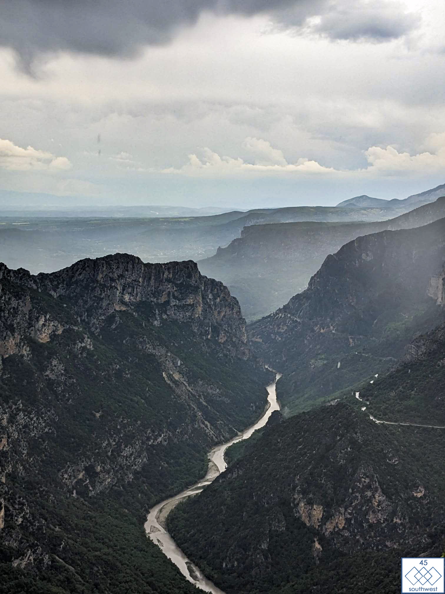
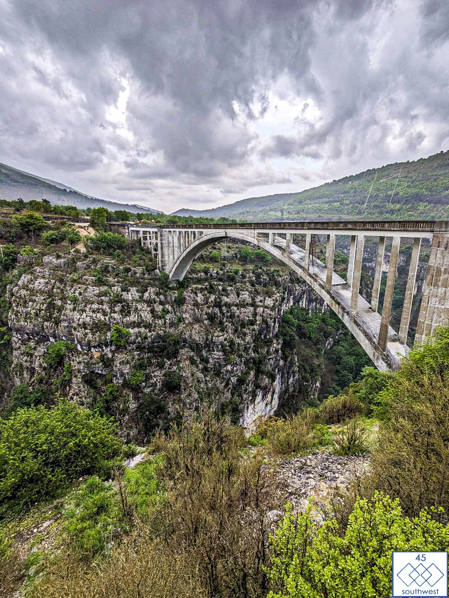
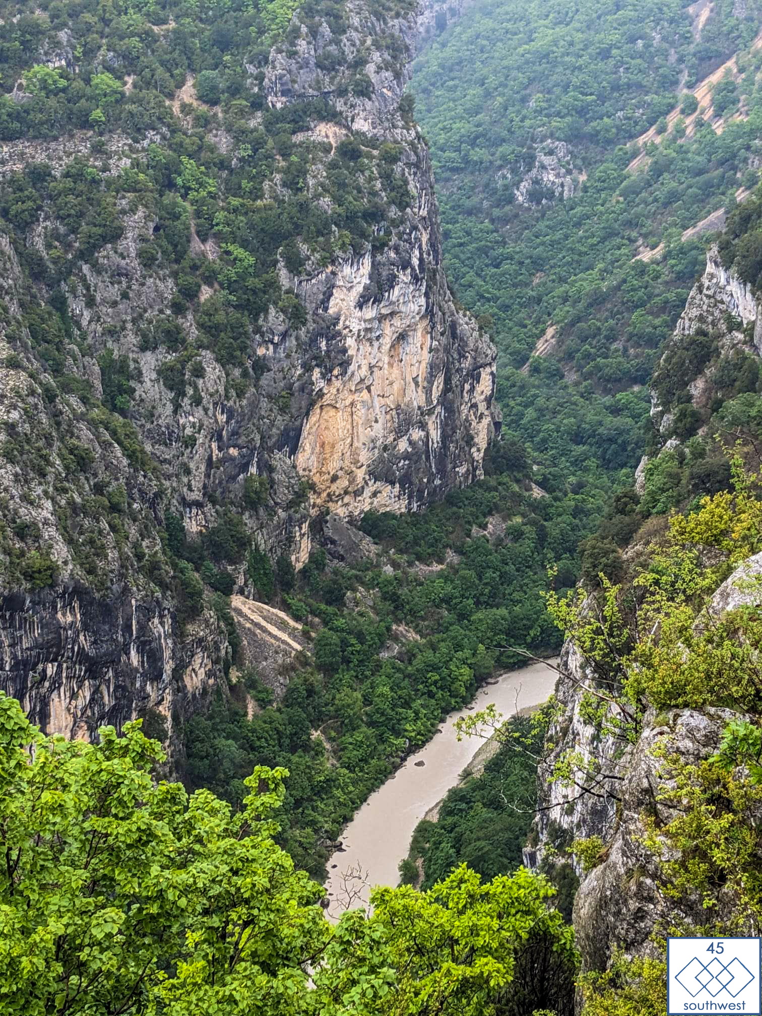
At the Gorges du Verdon the route will lead the riders over to the famous Pont de I’Artuby. This bridge is one of the highest bungee jumping spots in all of Europe! Will any daring riders add an extra dash of thrill to their adventure and take the leap?
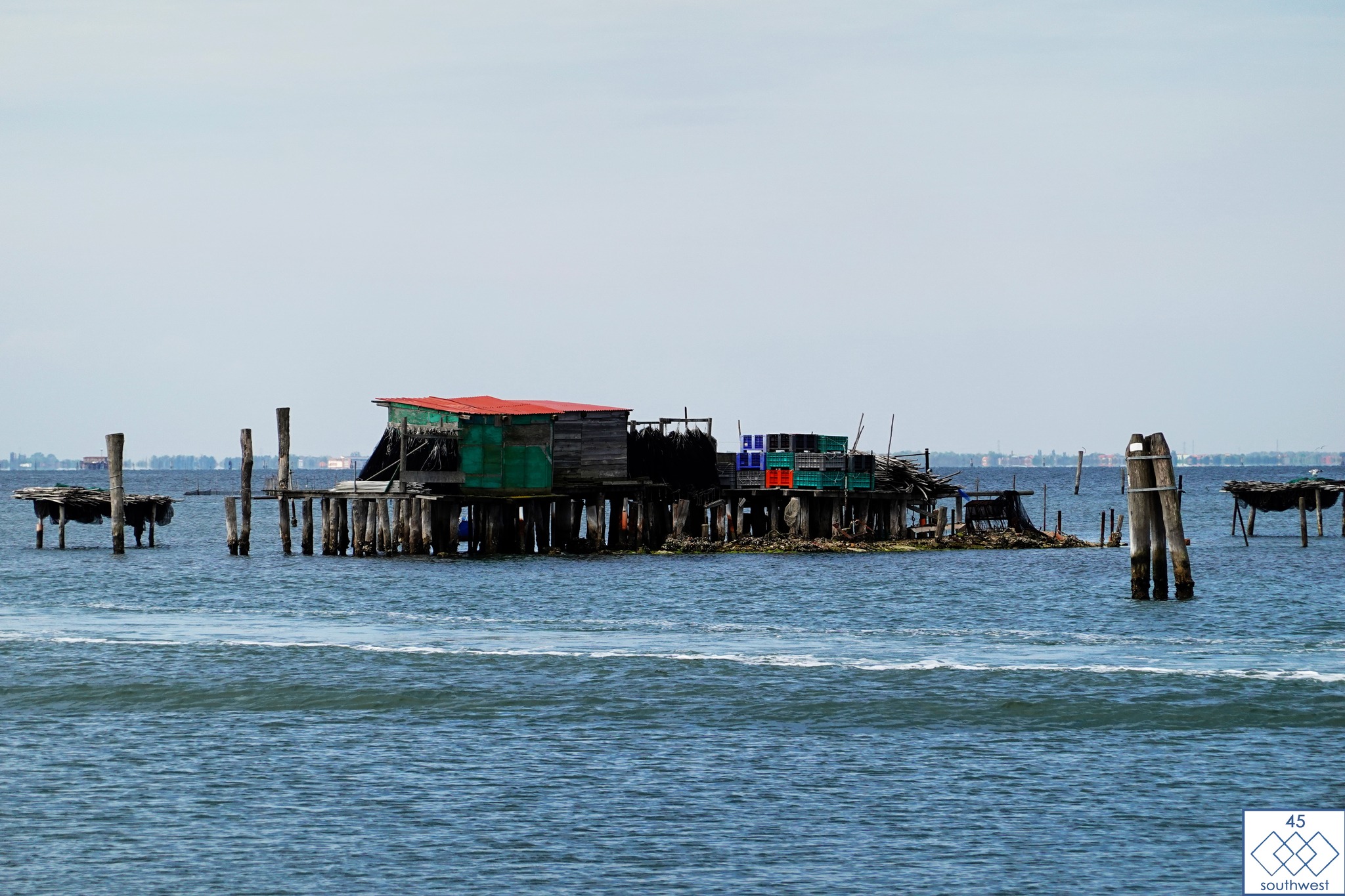
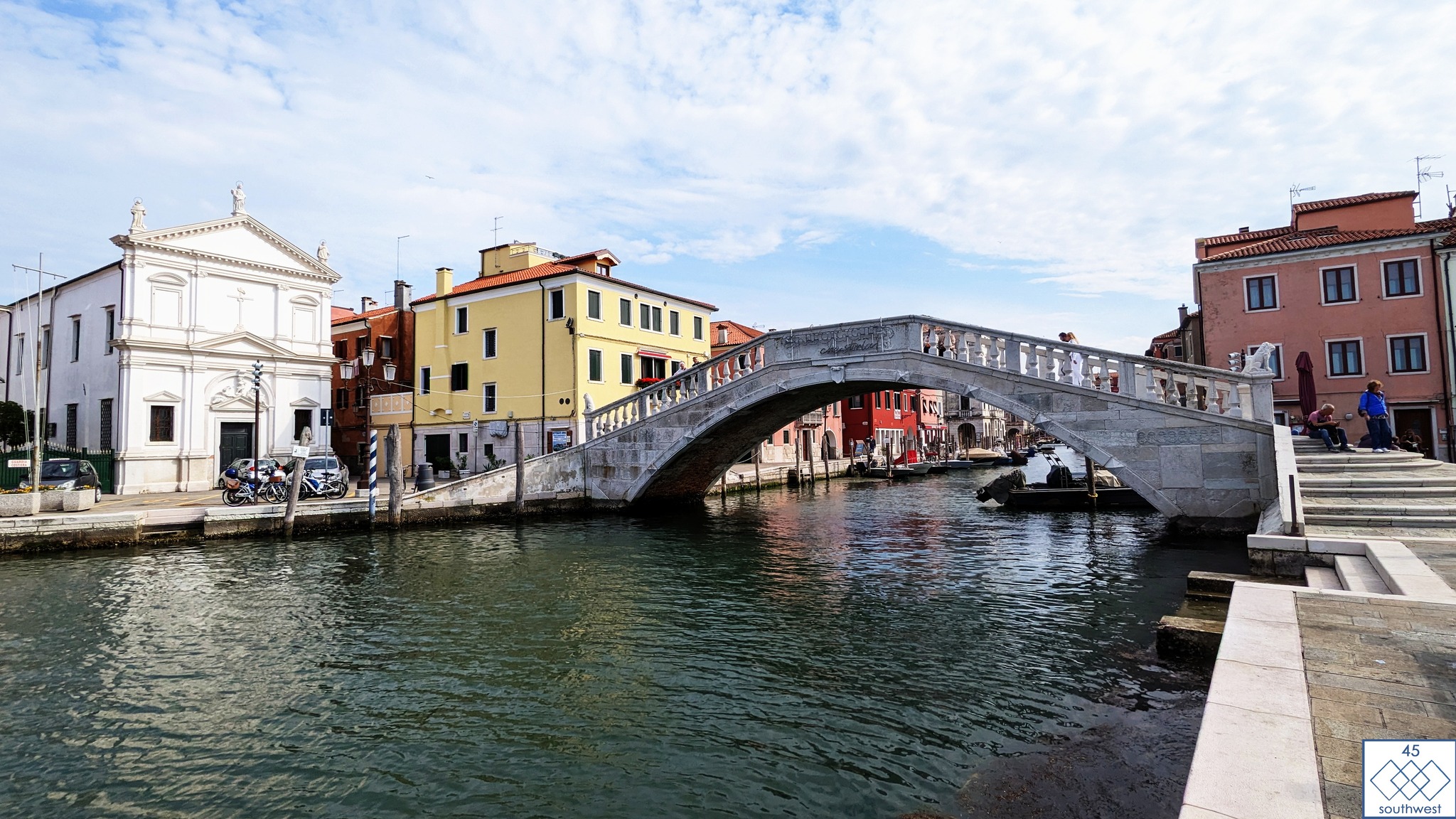
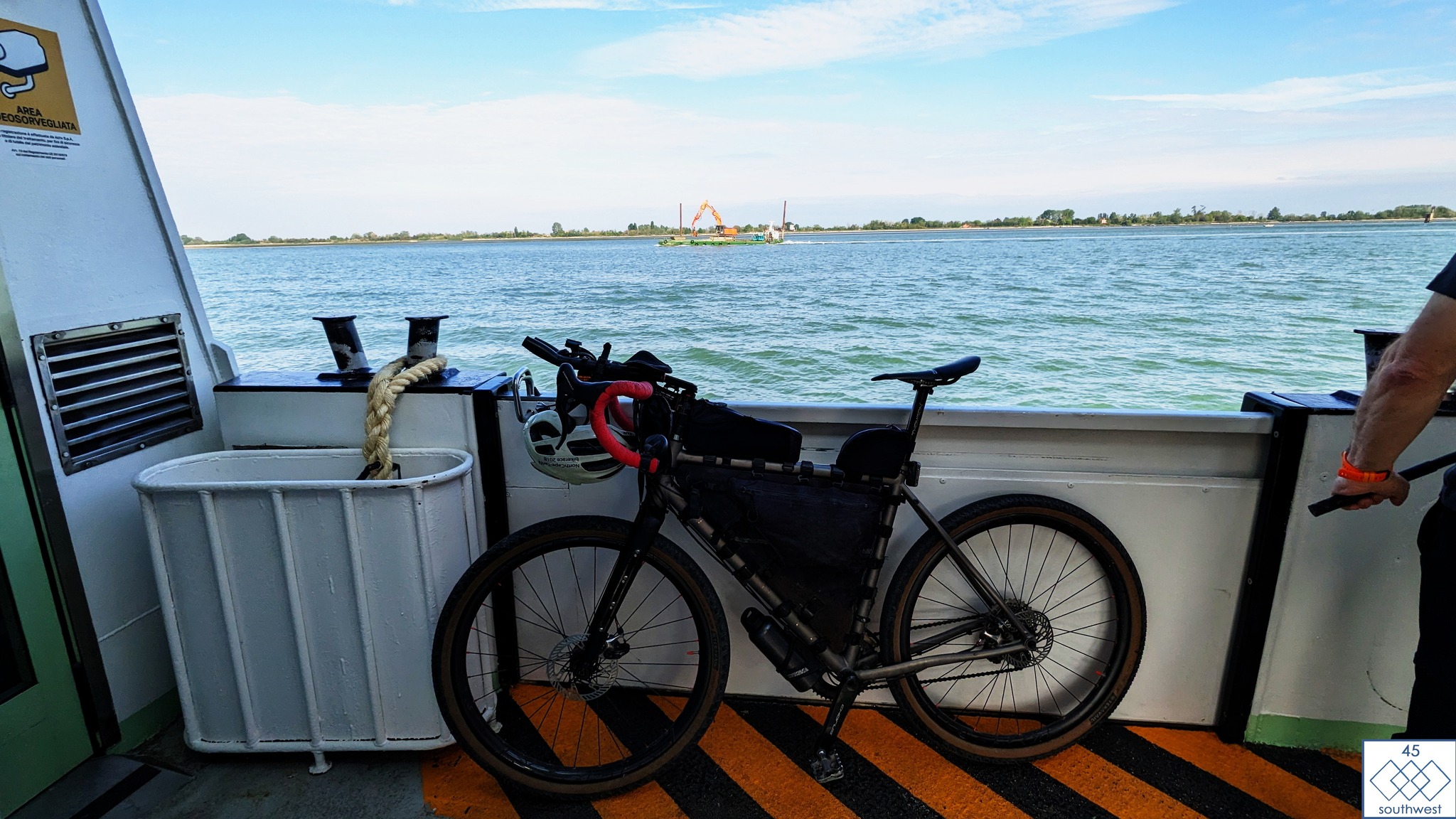
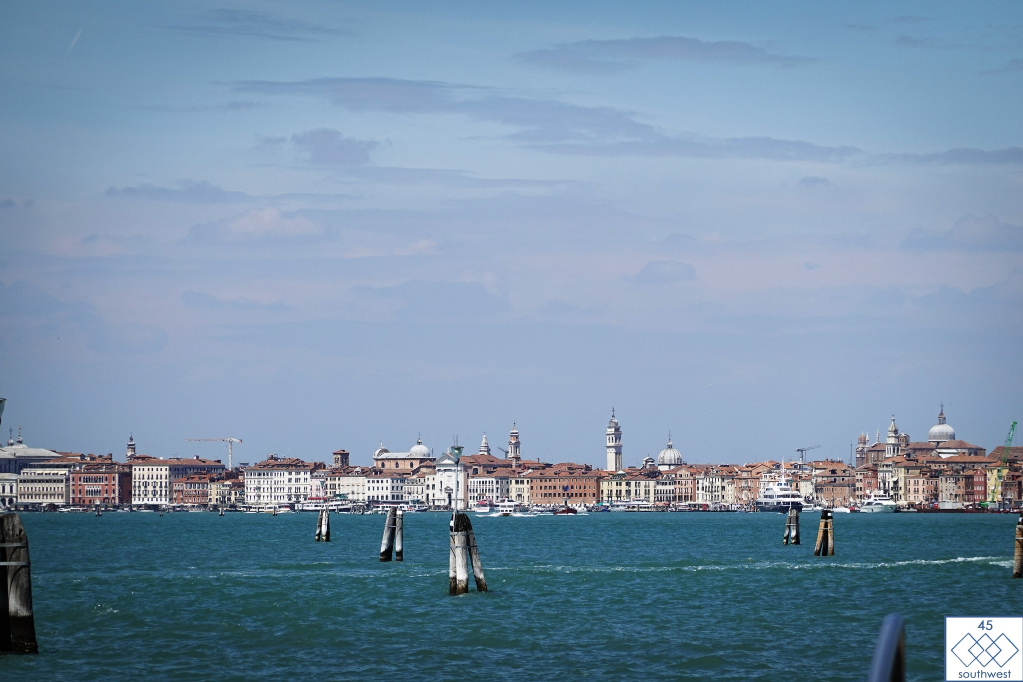
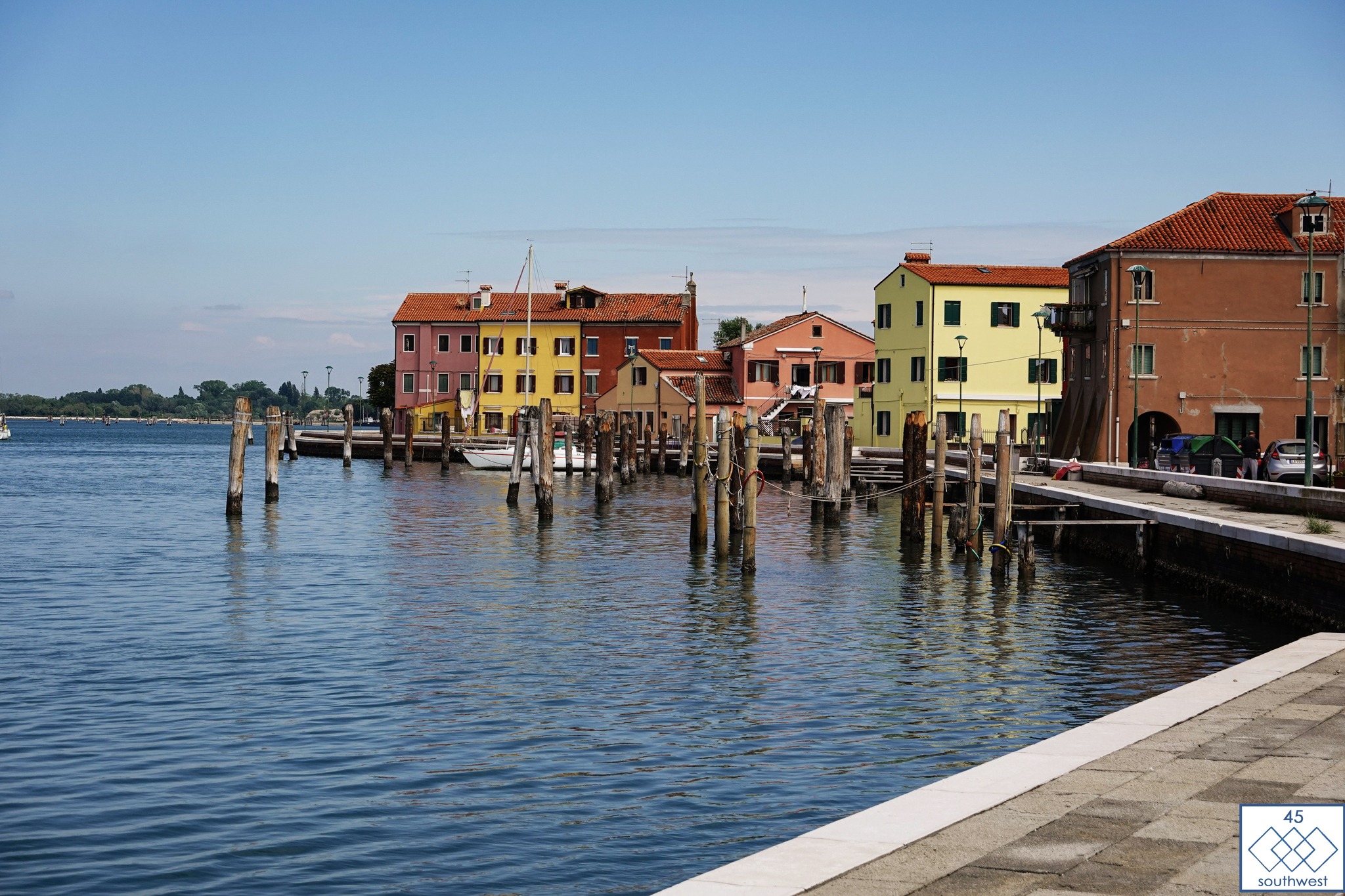
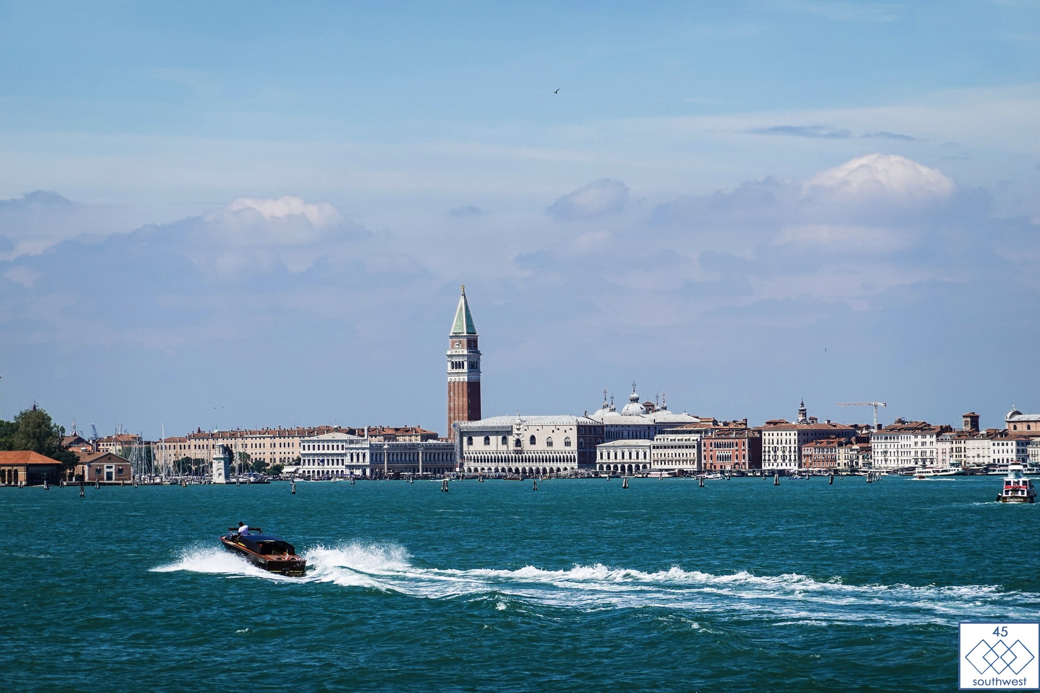
Until today, it was a secret that the route bypasses the city of Venice. Riders will board three short-distance ferries to reach Chioggia.
The first ferry goes to the Lido, a long, thin island separating the Venetian lagoon from the Adriatic Sea. It is also home to the Venetian Film Festival. There are plenty of inexpensive restaurants, perfect for refuelling before moving on. The view from the ferry allows you to see the silhouette of The Floating City and its St. Mark’s Bell Tower.
The next ferry departs from Porto di Malamocco and goes to Pellestrina, an 11 km long island known for its colourful houses.
The final ferry takes you to Chioggia town, which is located at the southern end of the Venetian lagoon.
Andy has been on the route, checking for over a week now, and making necessary adjustments along the way.
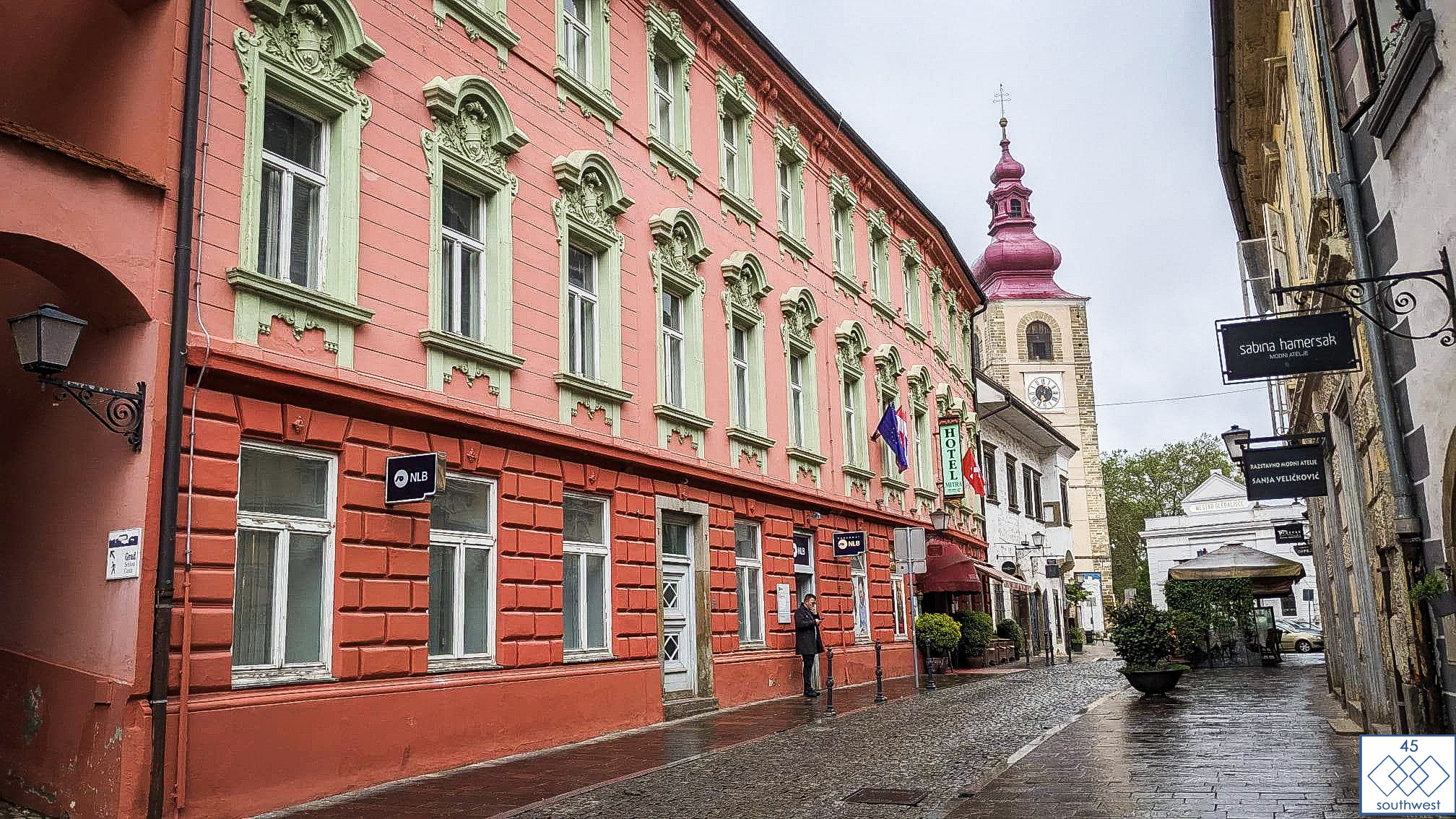
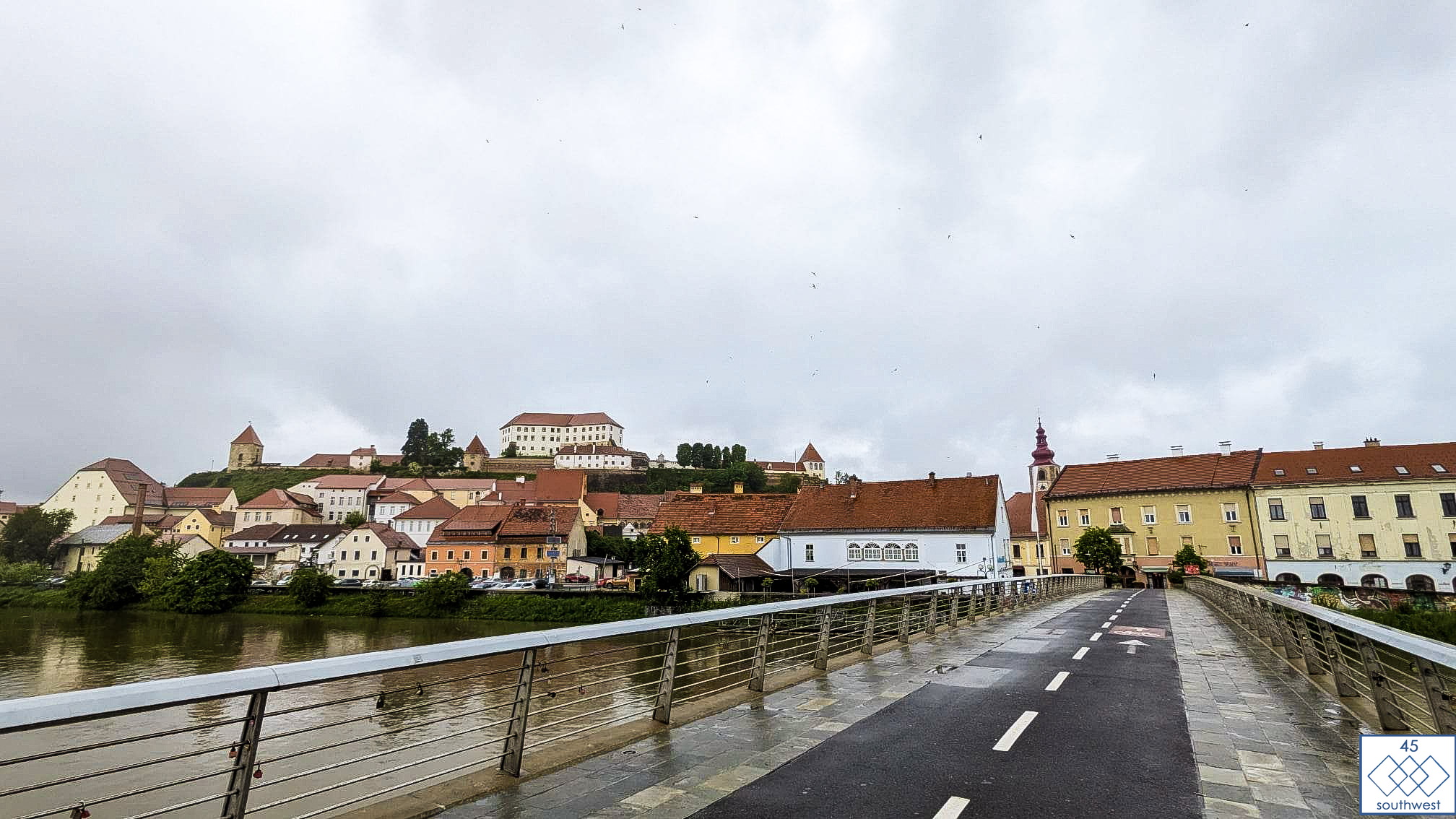
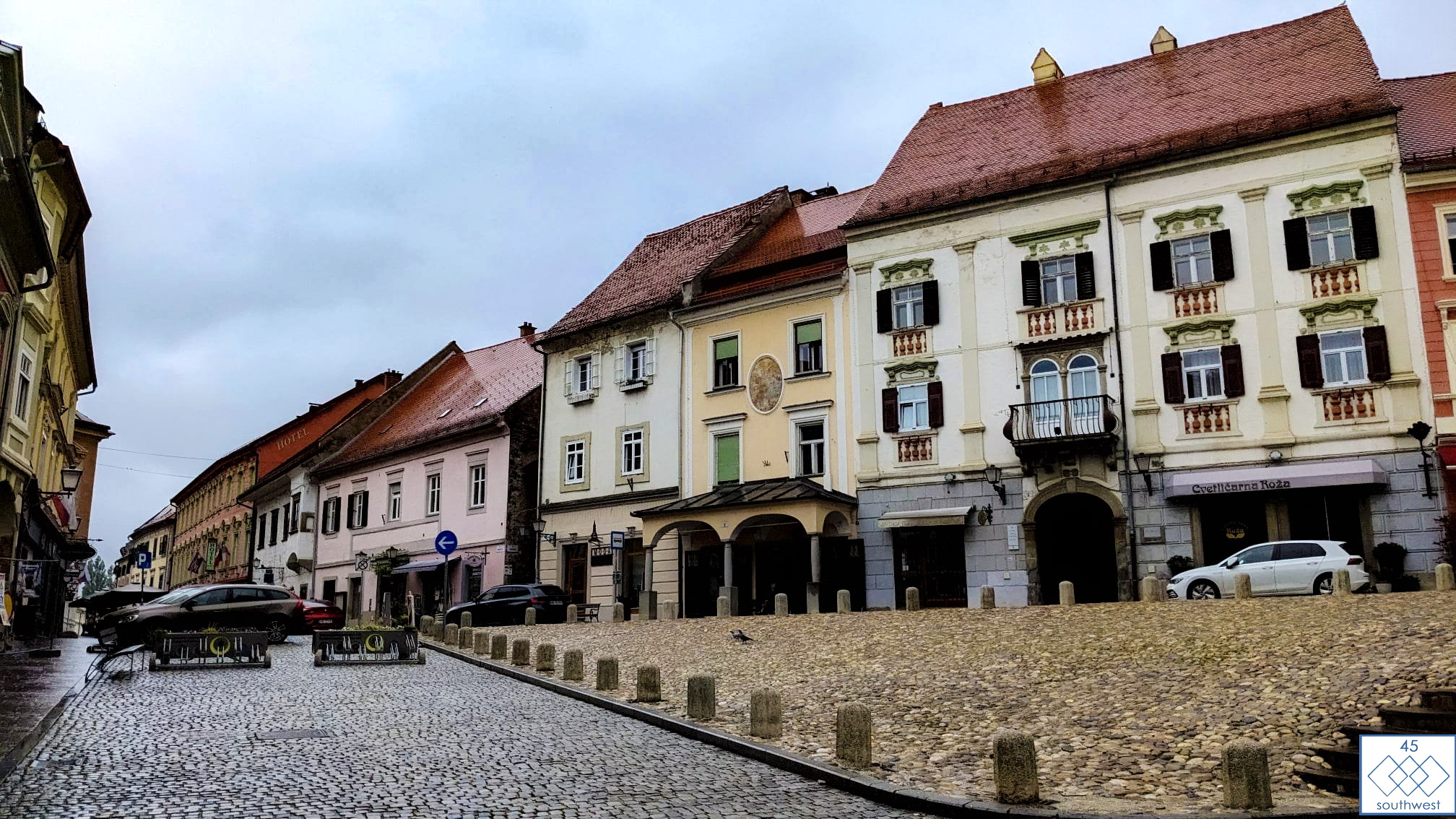
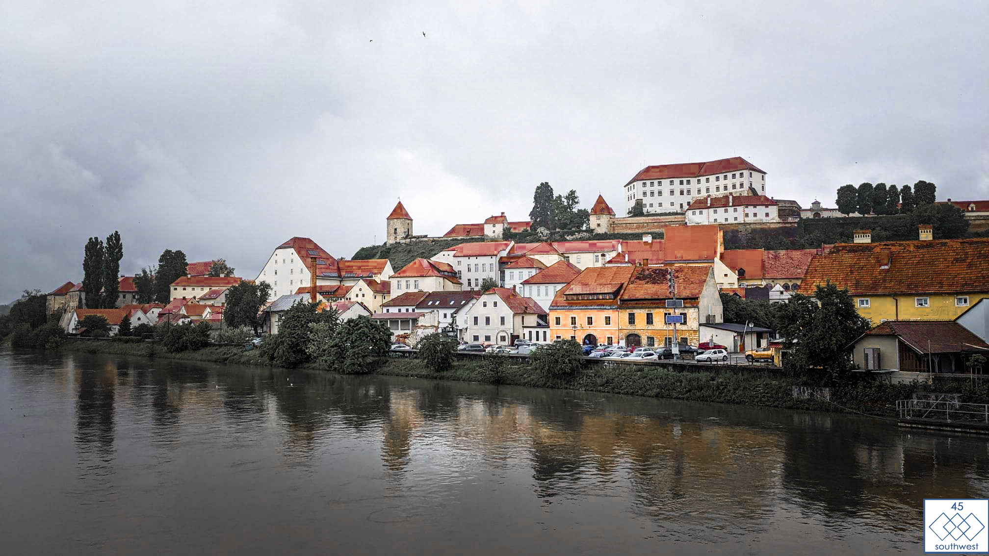
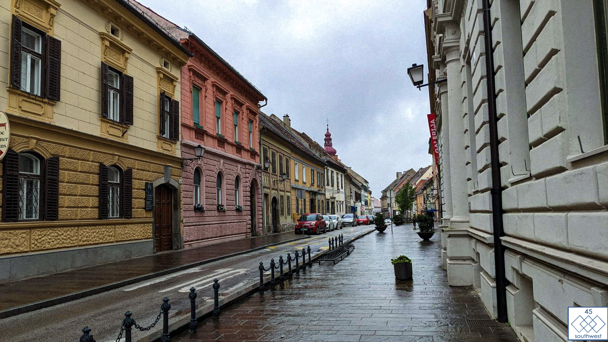
Today, he decided to make a change to a section in Slovenia that he wasn’t satisfied with. As a result, Maribor has been removed from the route, and instead, the route now passes through Bad Radkersburg and Ptuj.
The attached photos are from today, showing the scenery in Ptuj.
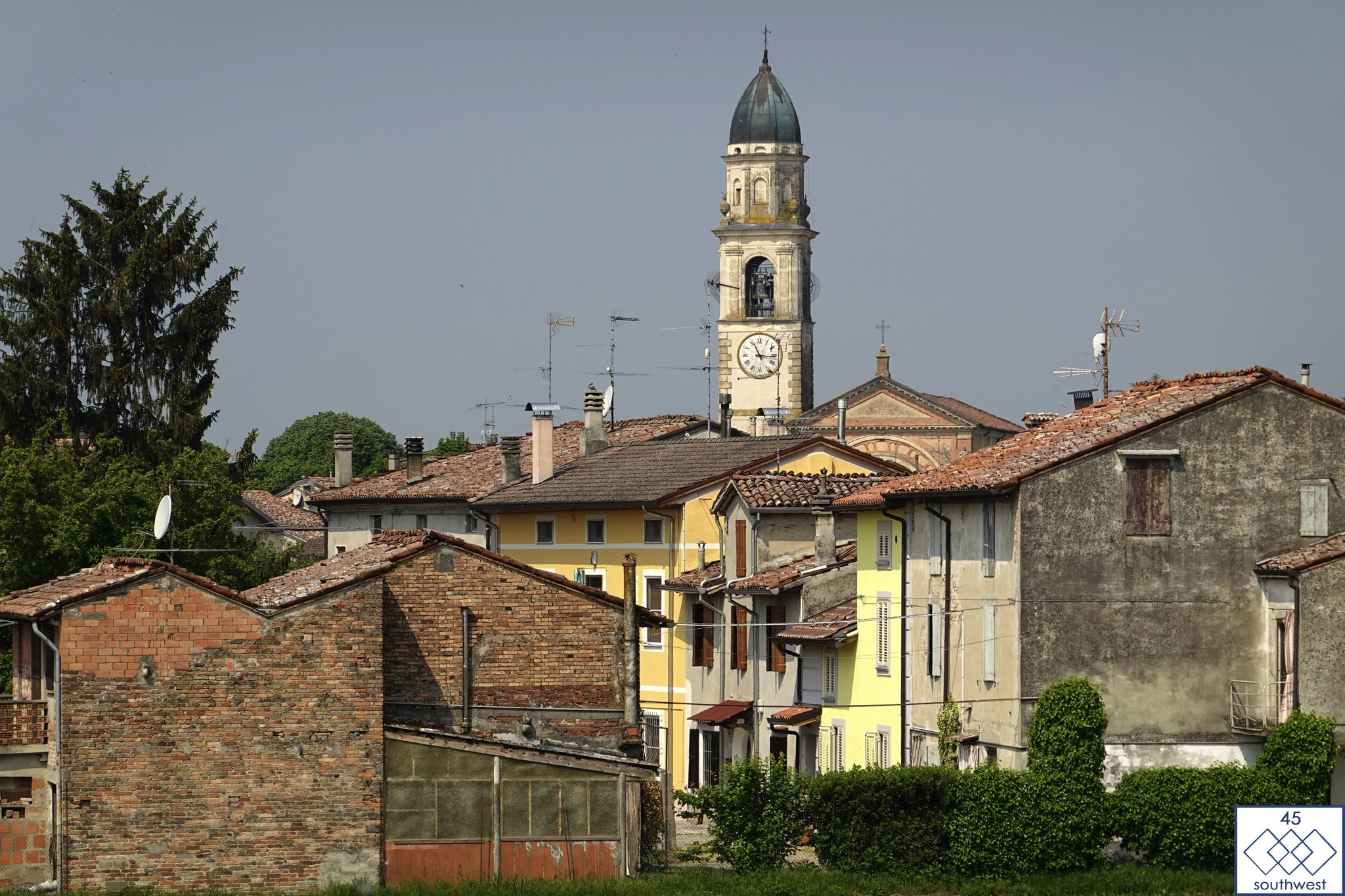
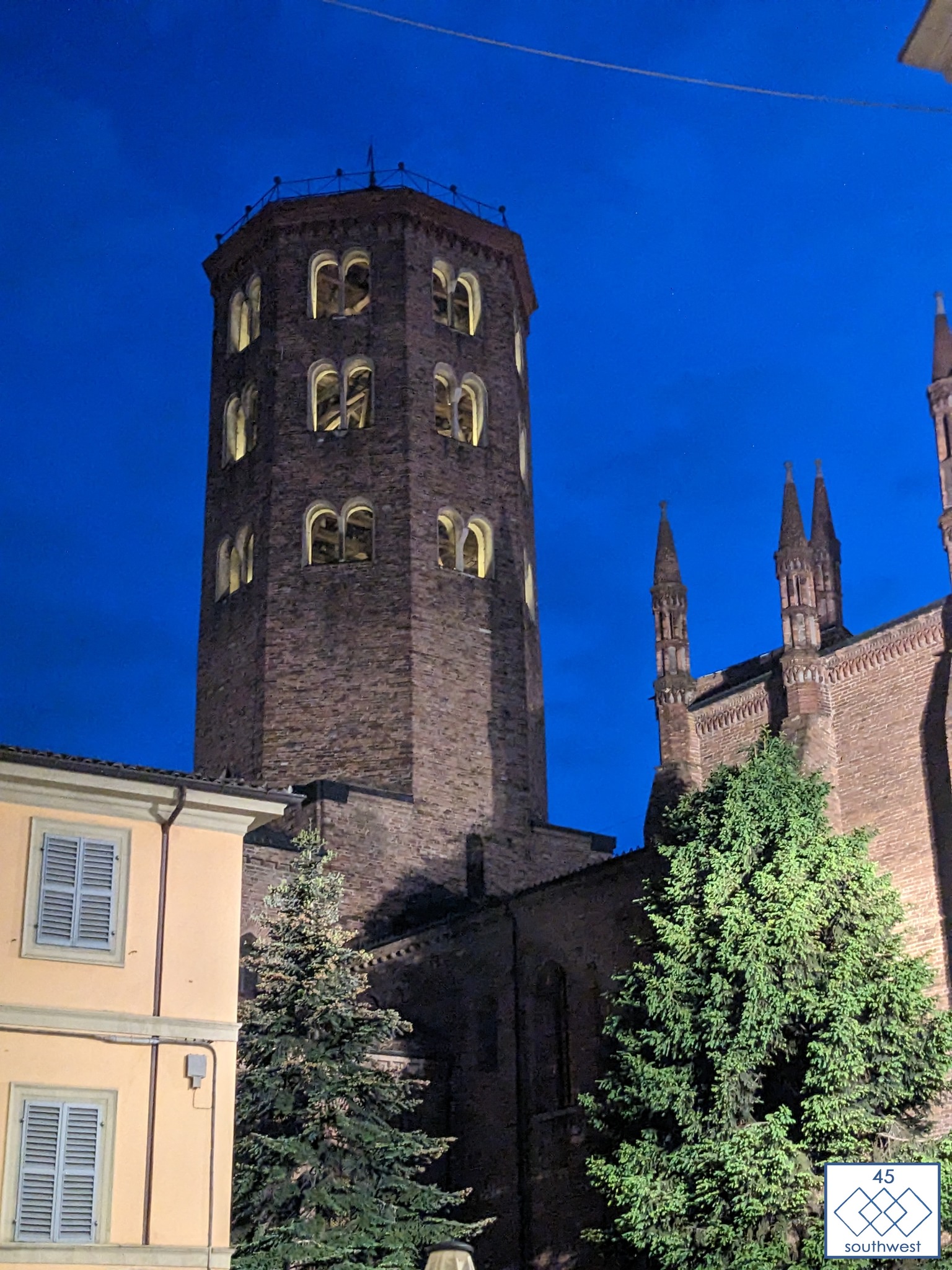
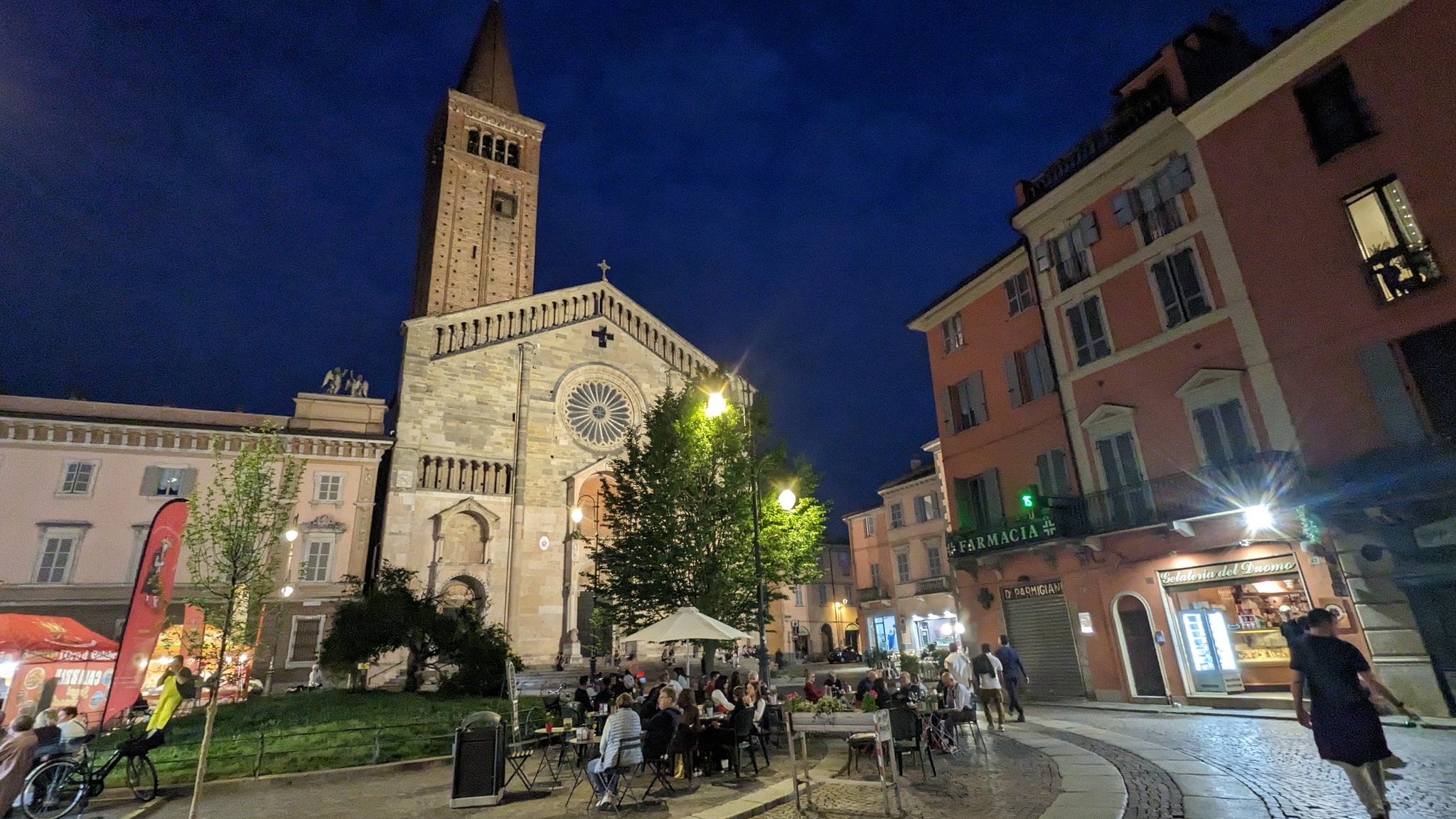
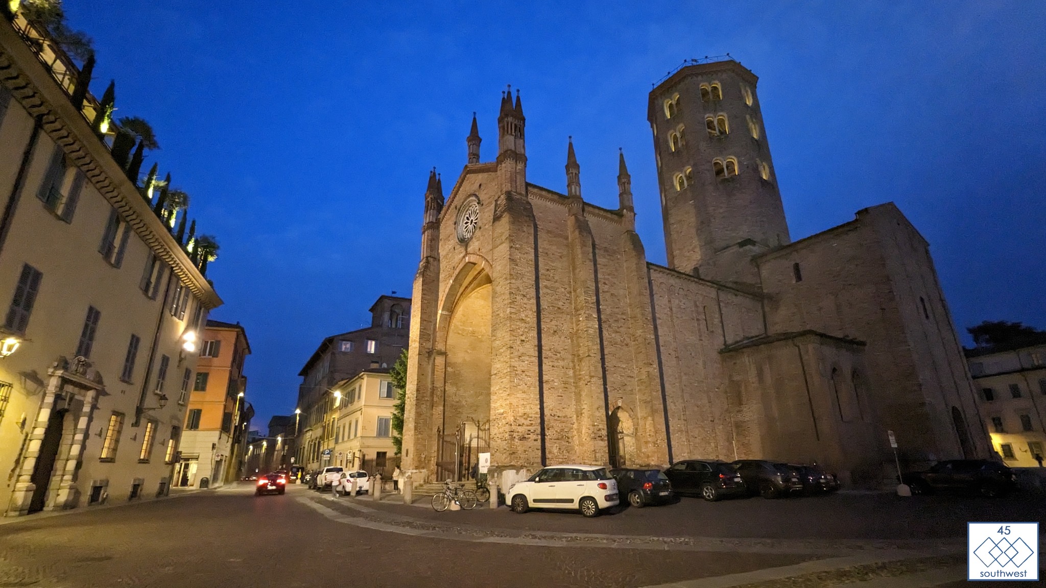
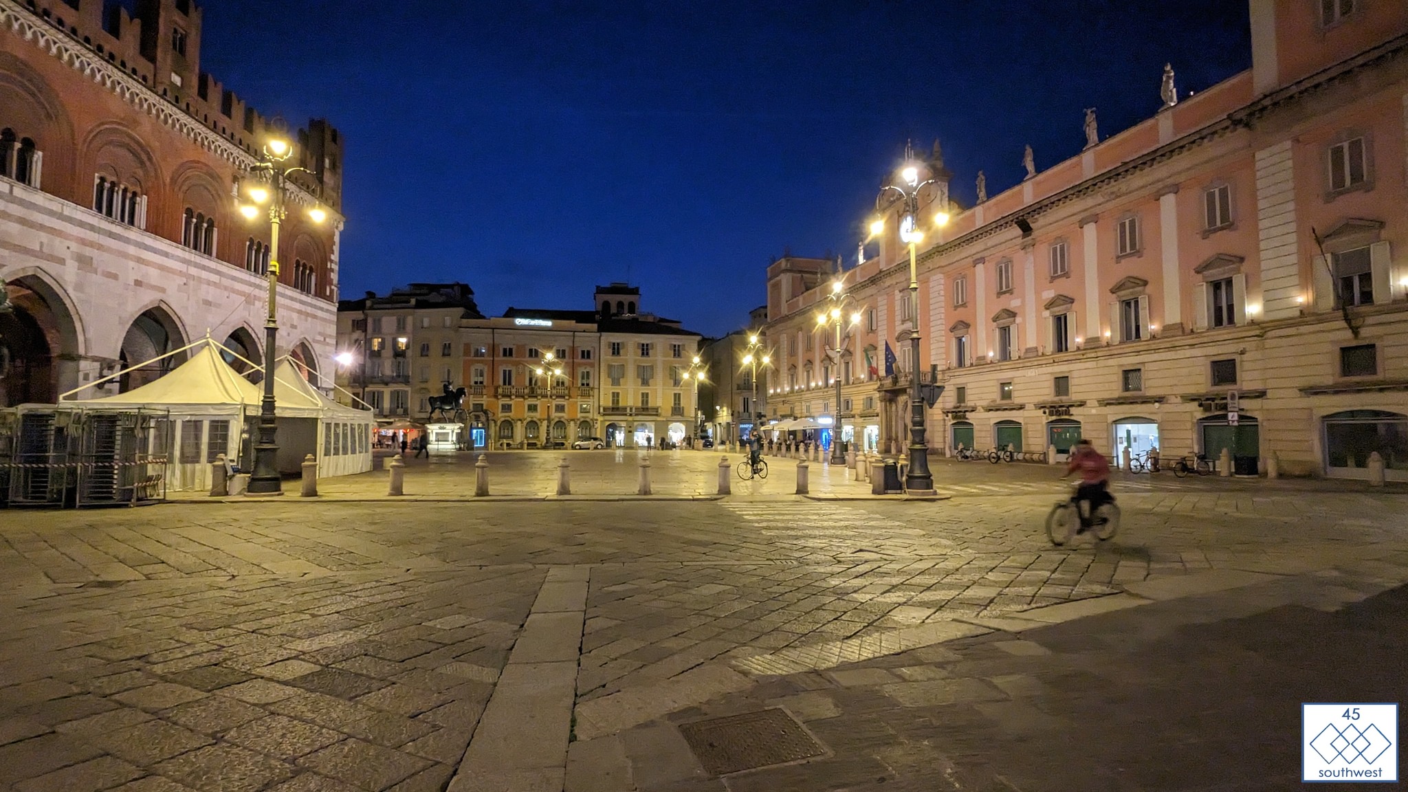
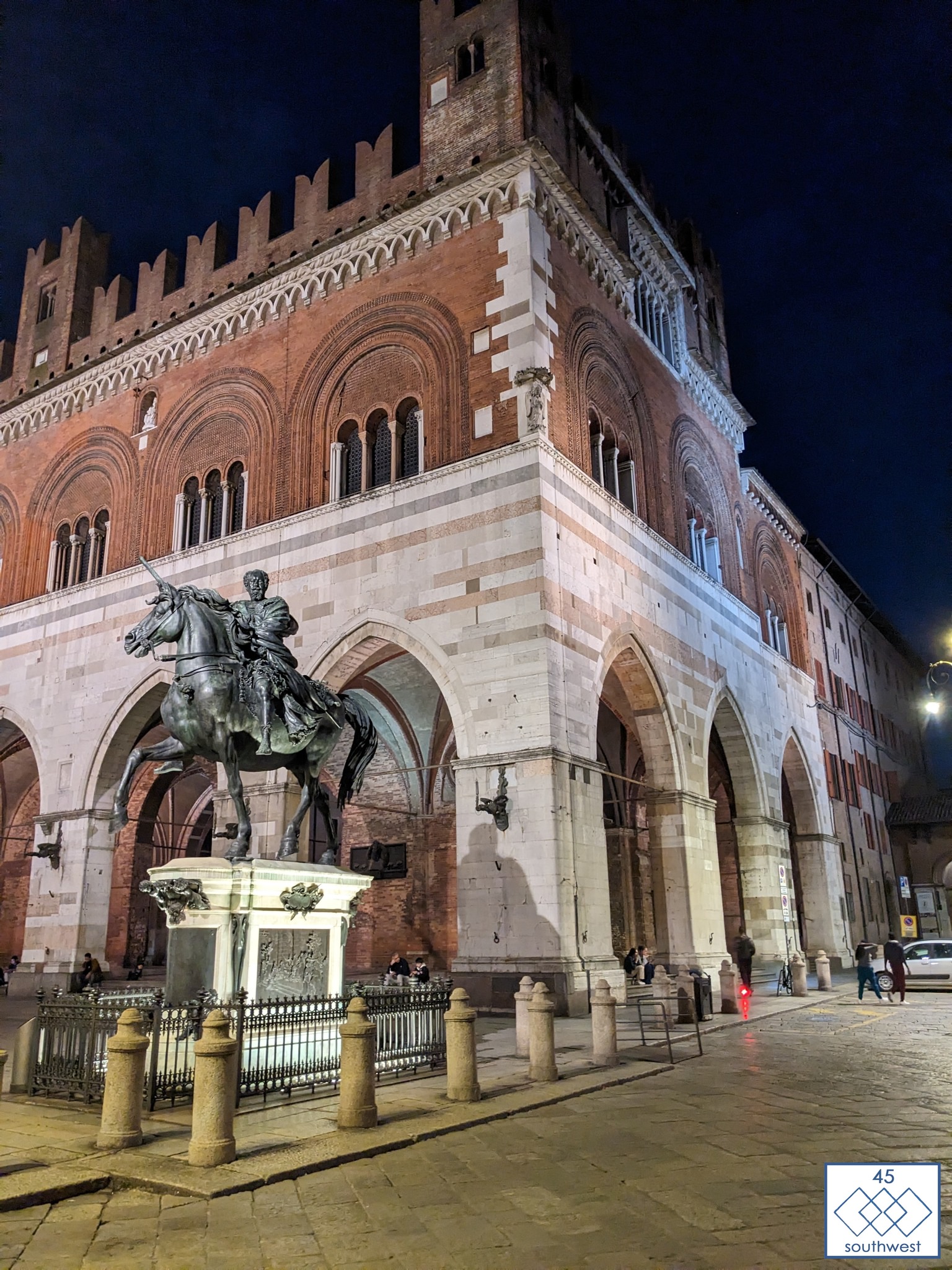
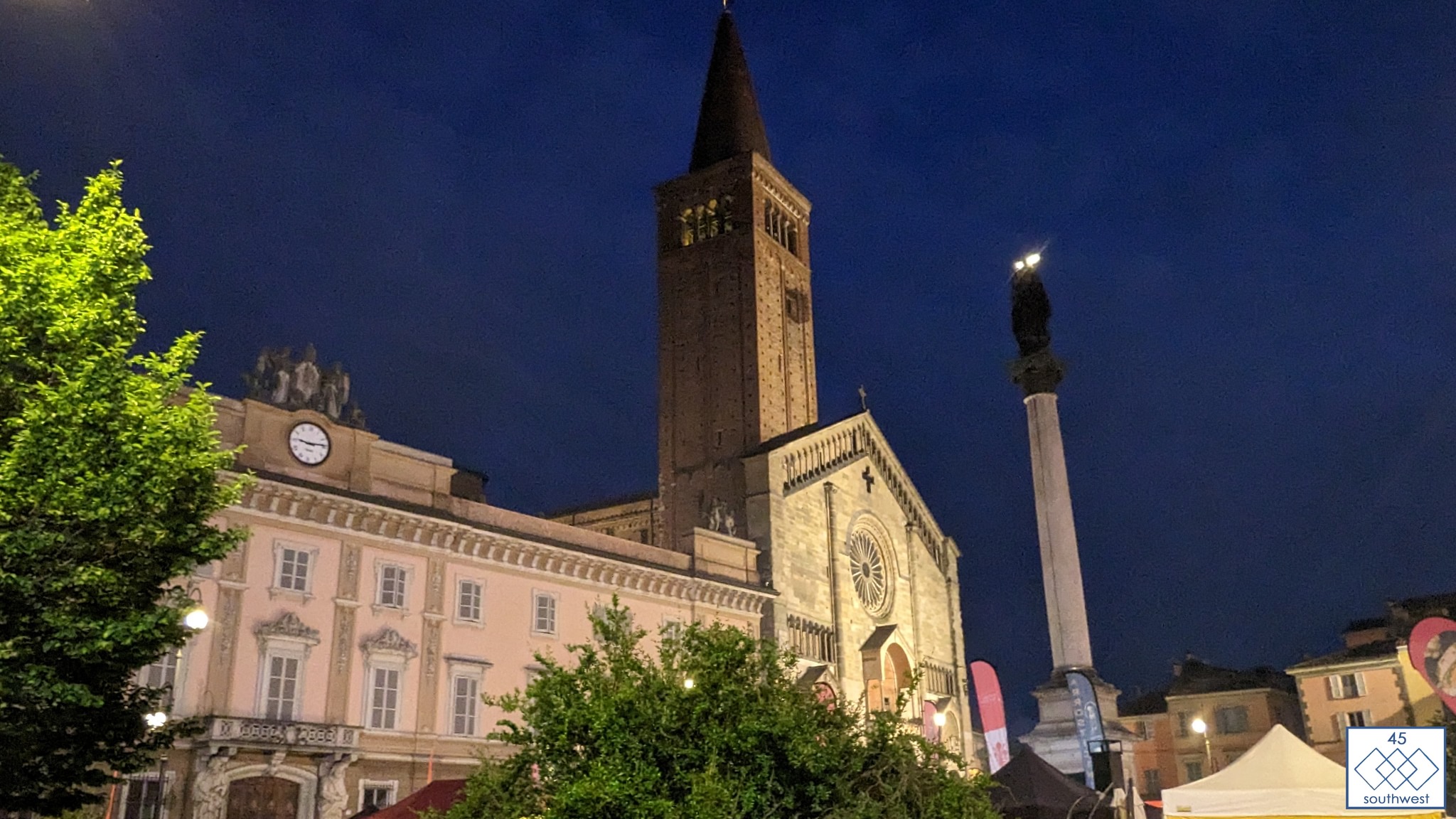
Photos from Piacenza, a city with a rich history dating back to 219 BC when it was founded by the Romans. Piacenza, which means “pleasant,” lives up to its name.
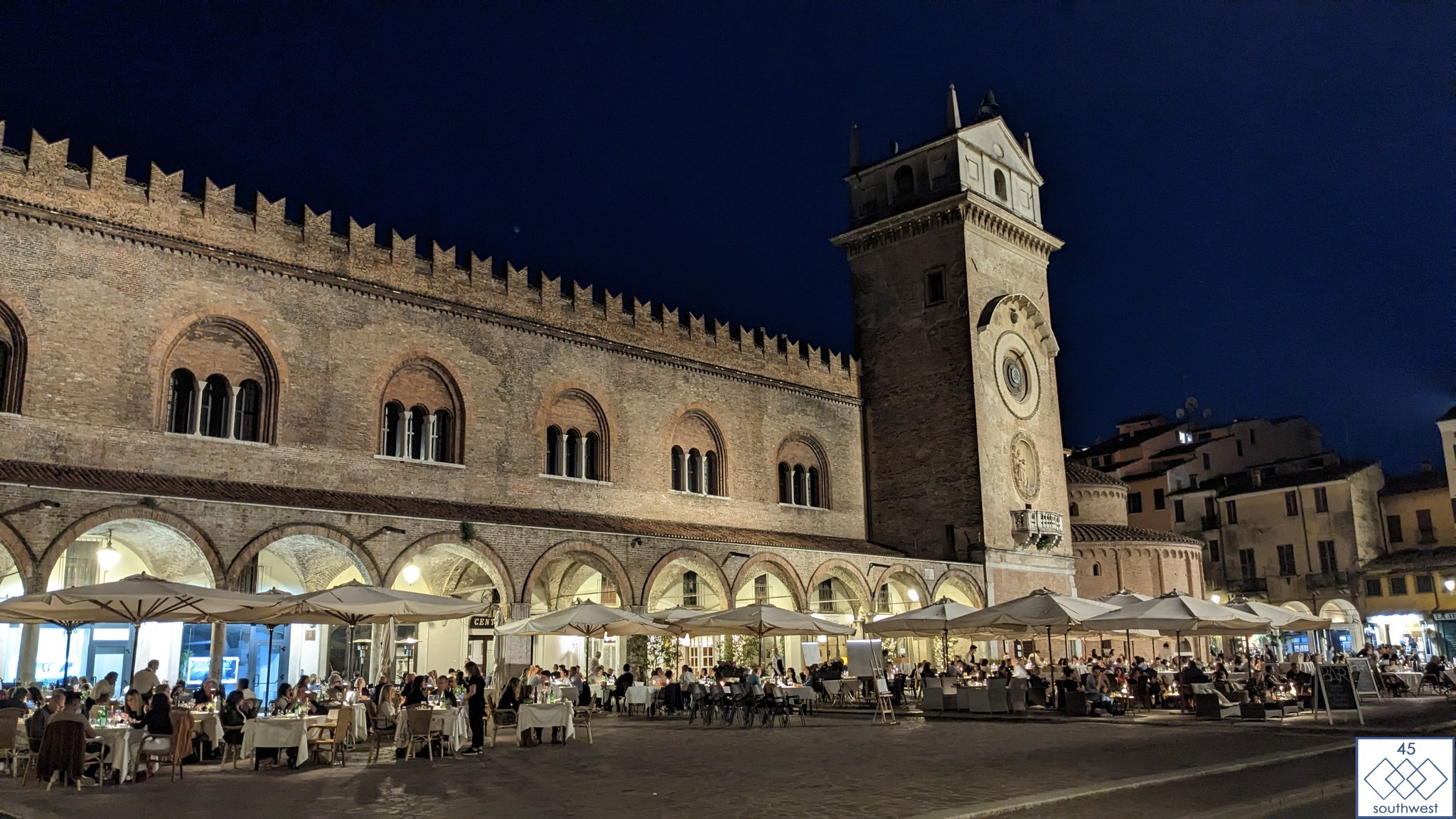
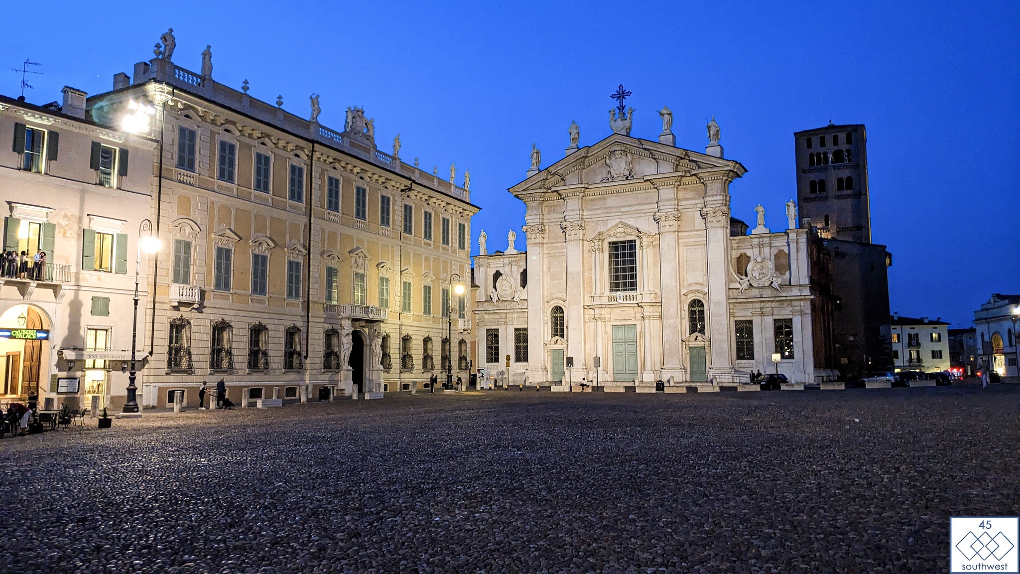
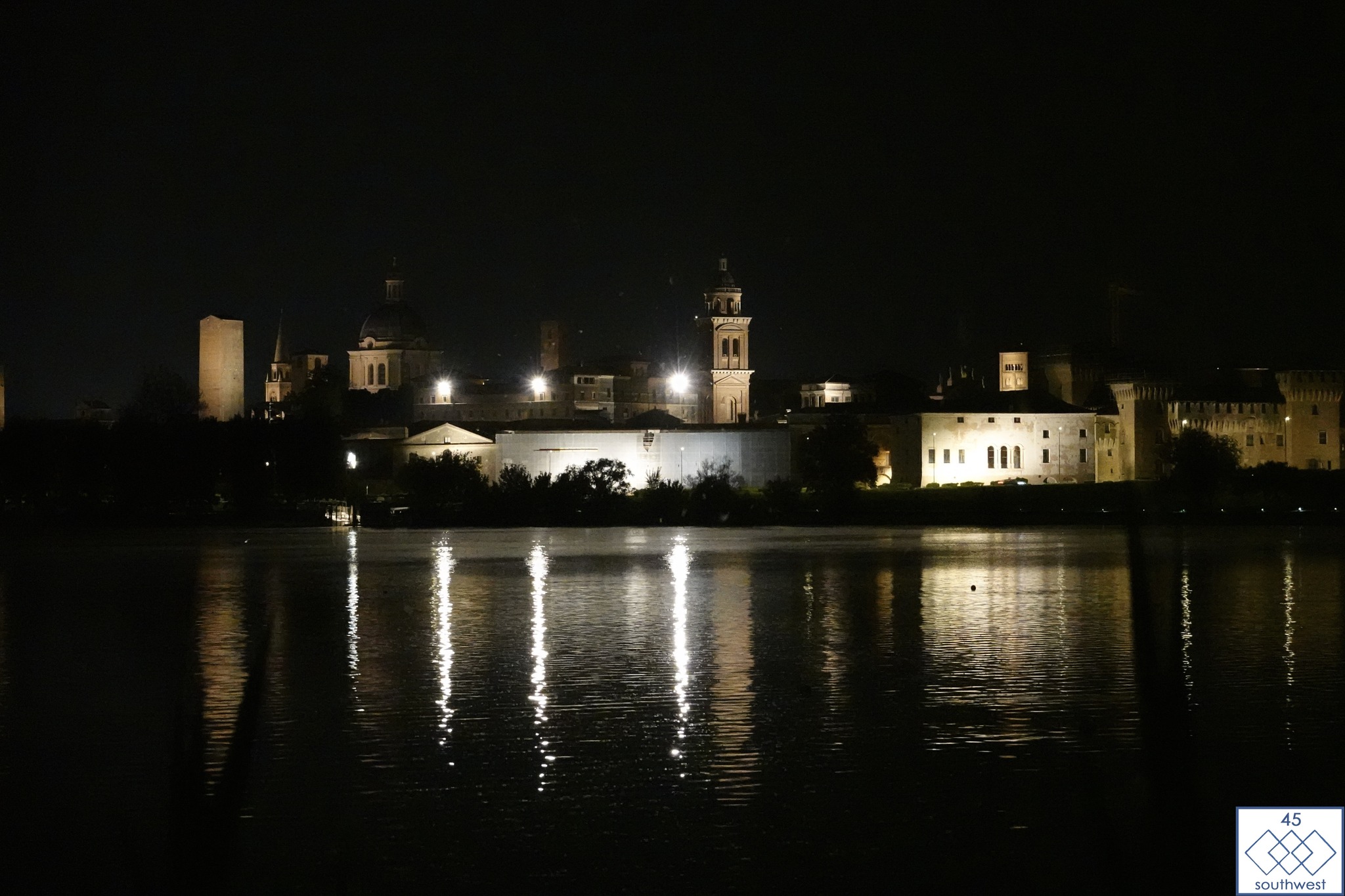
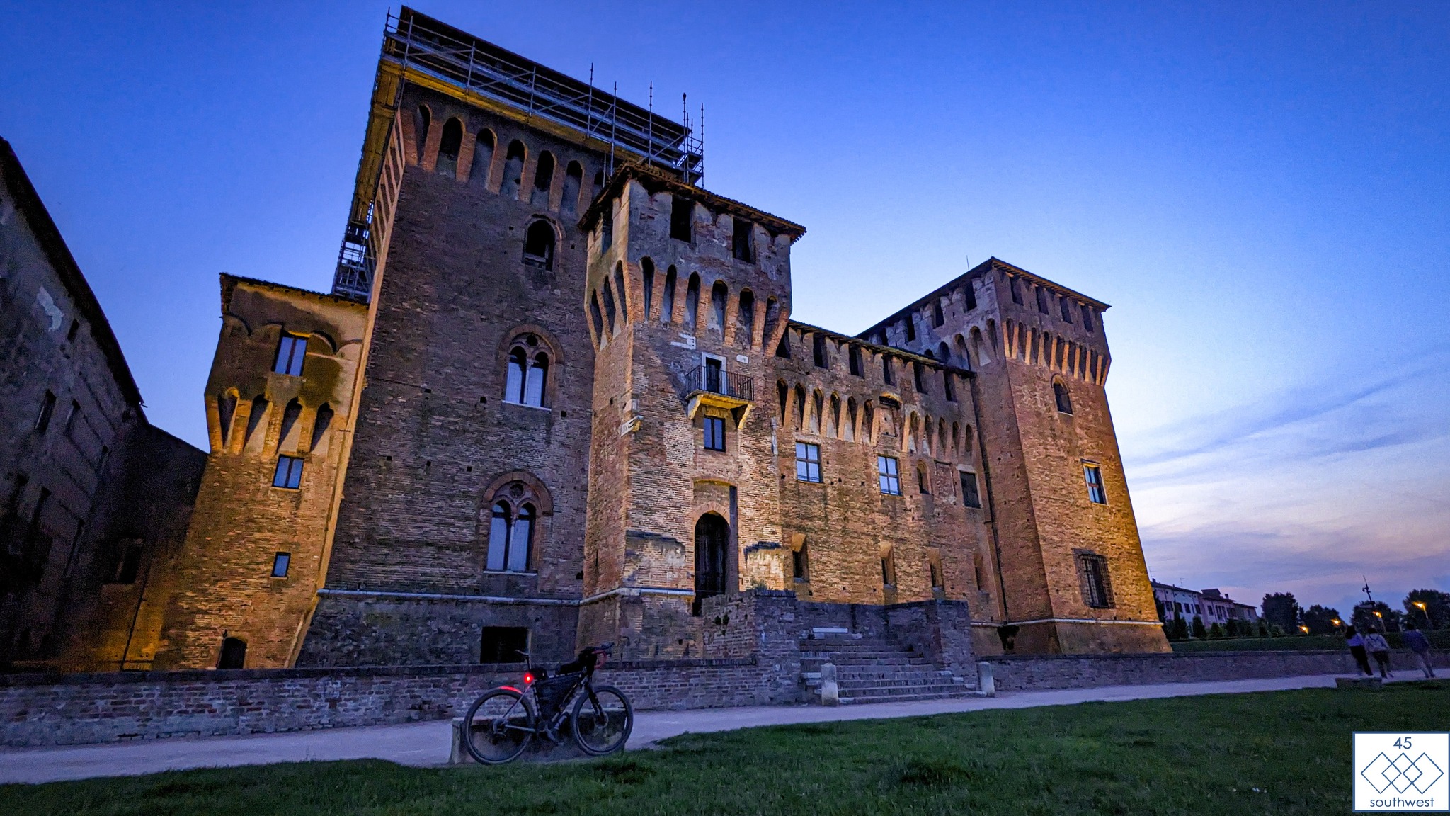
Riders travelling along the Po River from CP2 in Mantova will have the opportunity to immerse themselves in this cultural gem, as Piacenza lies along the route.
Piacenza is also famous for its gnocchi and tortellini. Buon appetito!